Being a campground host sure has its moments that leave you shaking your head. This one happened one afternoon, and it was definitely a “Shake your head moment.” I was doing my daily testing of the campground water, and I was approached by a couple that I would guess to be in their late fifties.
The gentleman asked me if I was the campground host and I told him I was. He was quiet for a moment, and he replied I really don’t know how to begin. He said I have really never experienced what happened today in a National Park before. My wife and I were standing on the bridge taking photos and we noticed a man, woman, and a child who was around 8 or 9 walking down the bank of the river. As they got closer, we noticed all they had on was their shoes. They weren’t even wearing socks. When they got to the bridge they started walking toward us. My wife and I looked at each other totally shocked. This was one of those visions that haunts you the rest of your life. It was not pretty at all.

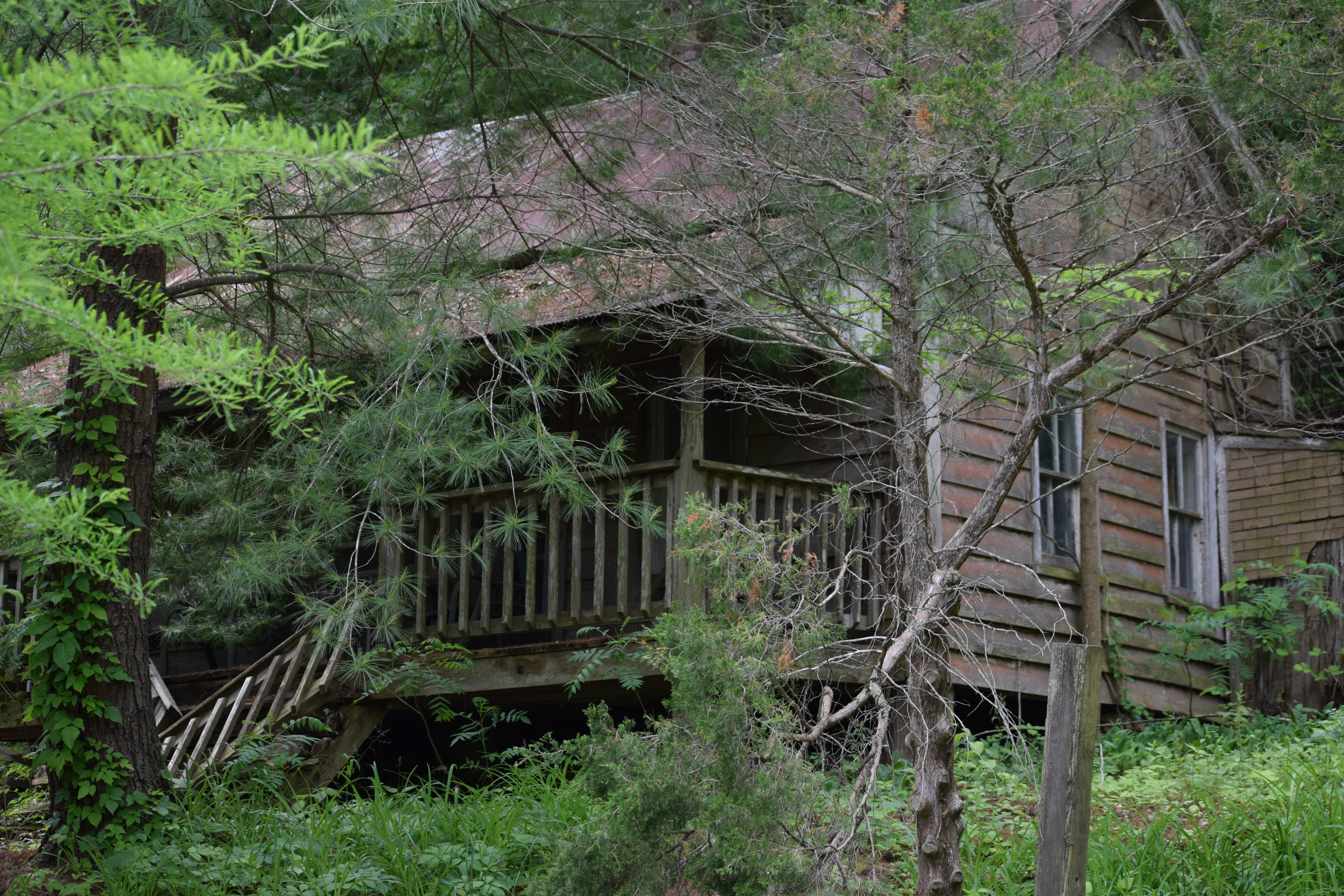
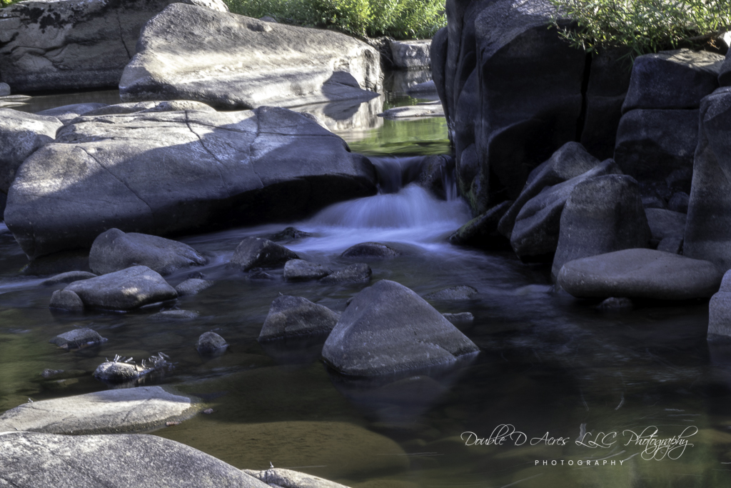
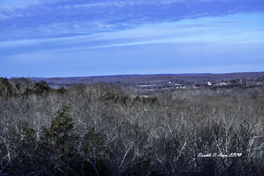
This is the bridge they were standing on but the water was much lower.
He said they were probably in their 60s and he said neither were very attractive and they didn’t know what to do. Scream bloody murder or run were two options that came to mind. They approached us and made casual conversation and my wife, and I felt very awkward talking to them. We didn’t want to be rude, but it was rude of them approaching us completely naked as if it were something everyone did. My wife and I were frozen in place and listened in disbelief as they made conversation as if it was perfectly normal to approach someone completely naked and have a conversation. He said they introduced themselves as Papa Bear and Mama Bear but didn’t mention the child’s name. They asked if it was our first time to visit the park, what we thought of the park and if we had ever been to the kayak races, etc. When they told us their names I decided against running, because they were definitely crazy and I thought if we ran, we might make them angry and they might chase us and do harm to us, so we stood there and tried desperately not to look at them.
After what seemed like an eternity Mama Bear turned to Papa Bear and said Pappa Bear, we have taken up enough of their time and should let them go on their way. They said goodbye and we watched as they walked to their car and get in and drive off. My wife turned to me and sked, what just happened? Were they really naked or had she gone crazy. Then we both gave a big sigh of relief and set out to find you.
He asked me if this sort of thing happens often. I replied only on days that end with a “Y”. Then I assured him that was the first time I have ever heard of anything like that happening in the park. Just when you think you have heard and seen it all you realize you haven’t after all. I honestly don’t know what I would do if I ever encountered a situation like that and hope to never find out. What would you do?
Thanks for stopping by and taking the time to read my post. I deeply appreciate all of you who have subscribed to my blog and thank you to all of you who were concerned about my health.

Another view of the bridge. I bet the day I took this photo they would have been wearing clothes, but then again maybe not.