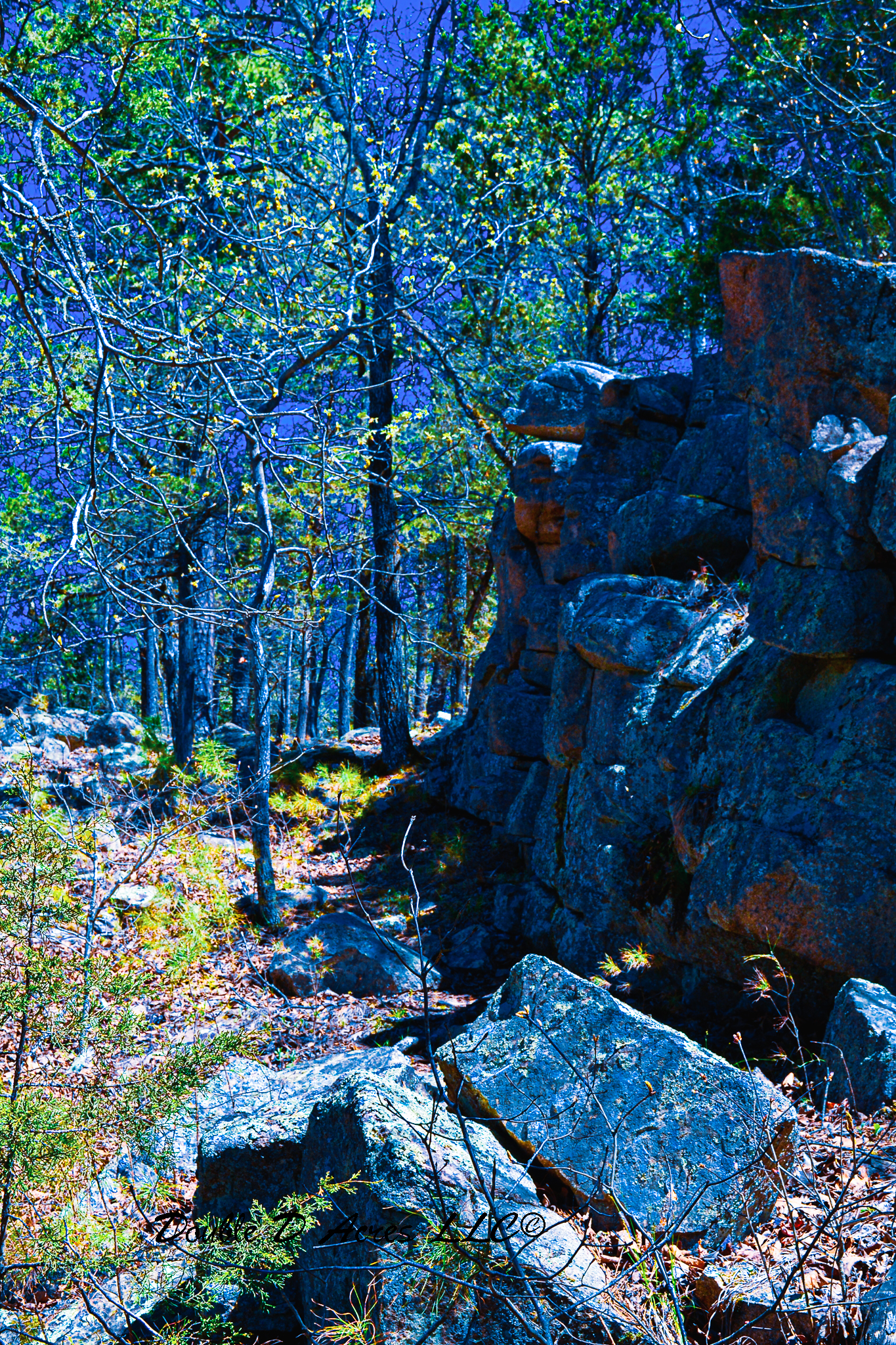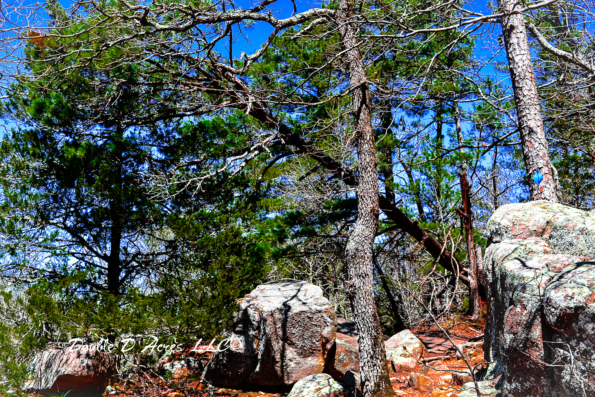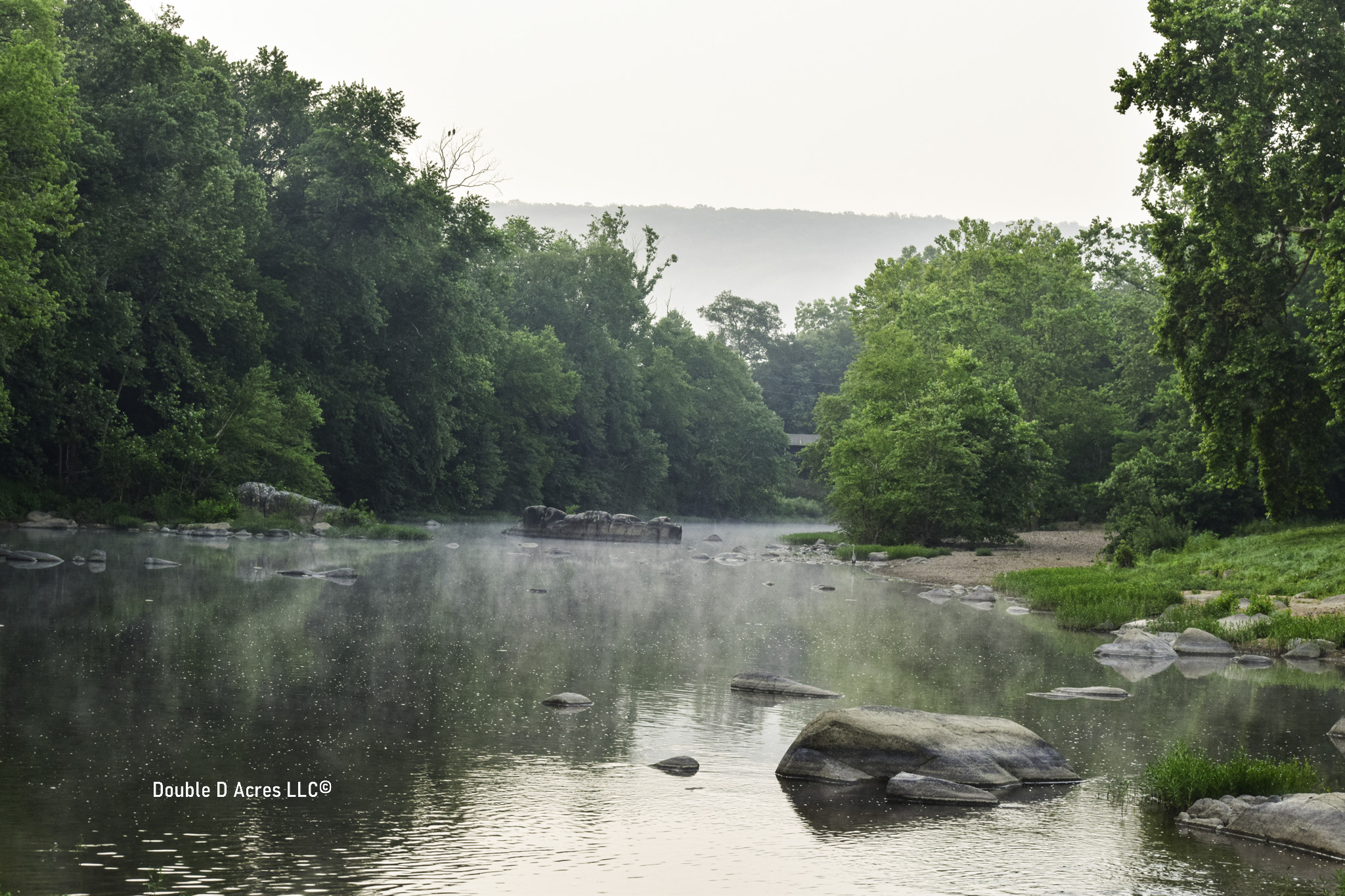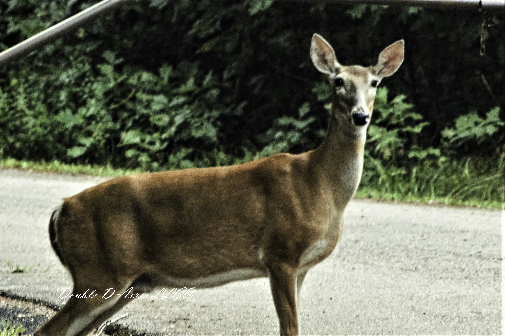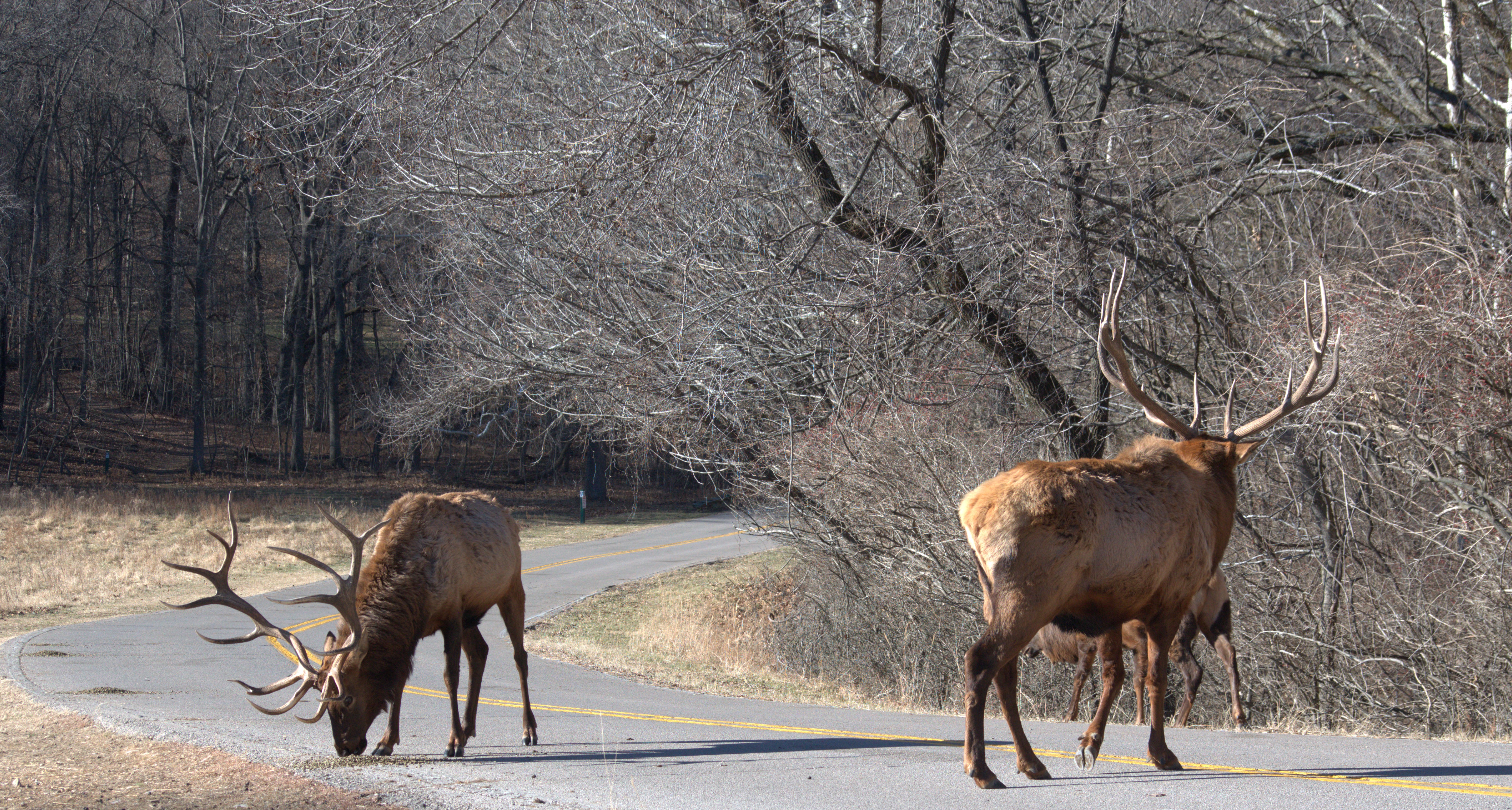
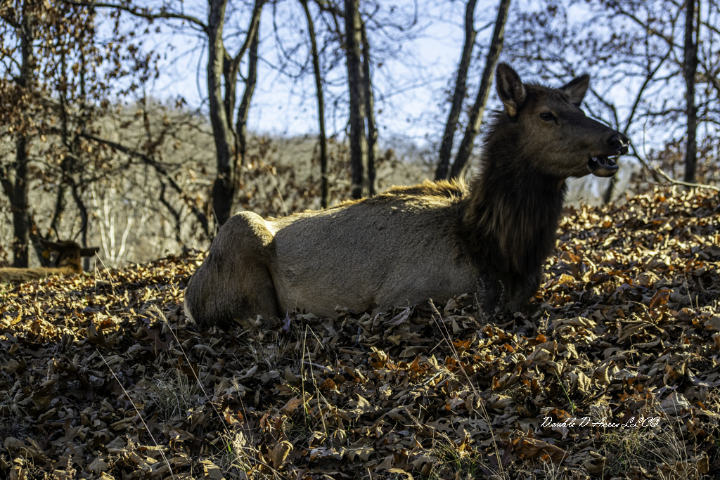
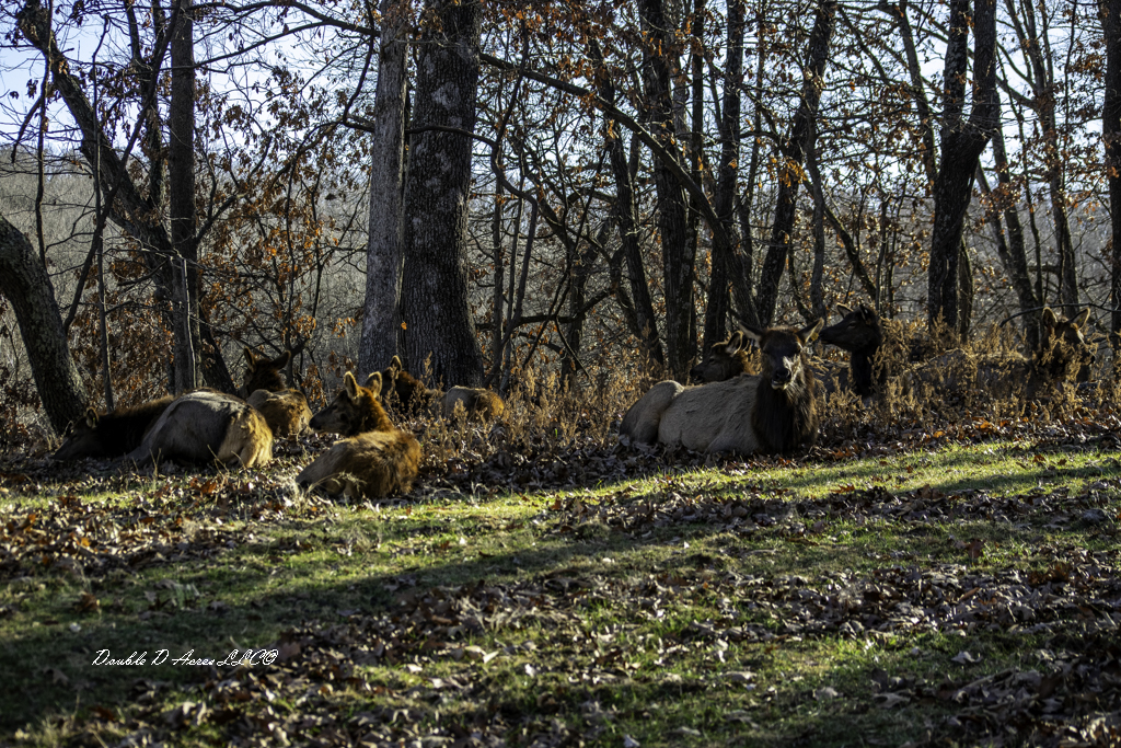
Nestled in St. Louis County in Missouri is a 546-acre wildlife area known as Lone Elk Park. What was once a World War II ammunition and testing range is now home too free roaming elk, bison, deer and wild turkey. Visitors can view them by driving and walking through the park. It features trails, nature center and picnic areas can be found around the park.
So why the name Lone Elk Park? All the park acreage was once a part of the 2,400 acre Tyson Valley Powder Plant. The area was used for the testing and storage of ammunition during World II. In 1948, after the war, it was used as a county park, and herds of elk and bison were established within the park. During the Korean War the Federal Government reacquired park. At that time, 1958, for the safety of the wildlife herds were destroyed and only one bull elk survived.

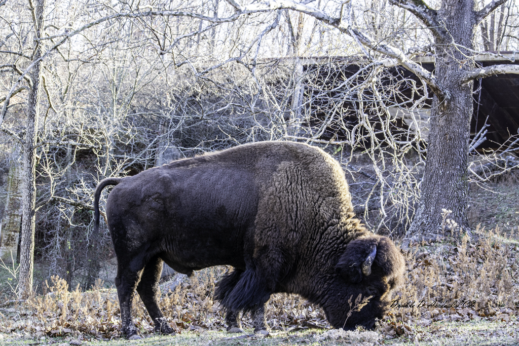
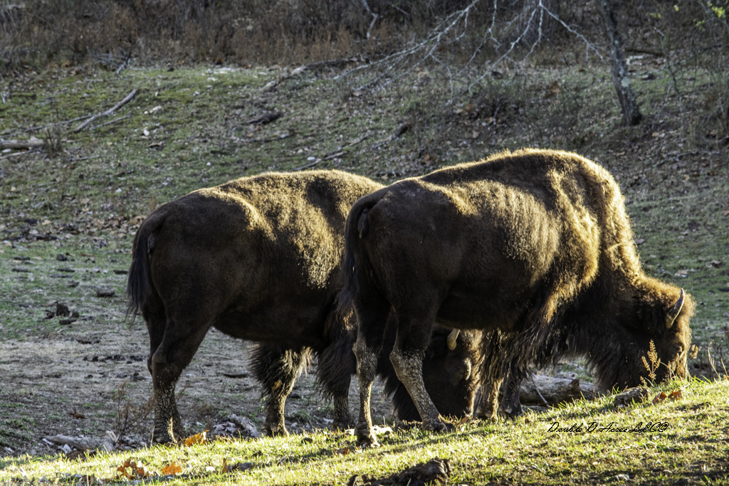
In 1964, St. Louis County acquired 405 acres of the original tract and in 1966 its name was changed to Lone Elk Park and in 1966 six elk were obtained from Yellowstone National Park. This was made possible through the efforts of the children of the Rockwood School Distract and the West St. Louis County Lions Club. Fred Weber Construction Company built the park’s lake at no cost to the county. Lone Elk Park was opened to the public on October 17, 1971. Then in July of 1971, six bison were acquired from the St. Louis Zoo and moved to the park.
Things to know before you go:
No dogs: Pets are not allowed even if kept in a vehicle. No feeding: DO NOT feed any of the wildlife. Donations: Entry is free, but donations are encouraged. For best viewing arrive around 8 a.m.
I have visited the park many times and remind you these are wild animals and are unpredictable. Never approach them or tease them. This could provoke an attack causing things to get ugly real fast.
Thanks for taking the time to read. I appreciate it very much. I remind you to be kind to one another. Being kind to someone doesn’t cost you anything but can change a person’s life for ever.