Pickle Springs Natural Area is located in St. Genevieve County in Missouri. Inside the area is a 1.9-mile loop that is rated moderate. Average time to cover trail is 52 minutes. It is popular among hikers, trail runners and bird watchers. The trail is open all year-round, but you will have to leave your pups at home. Dogs aren’t allowed.
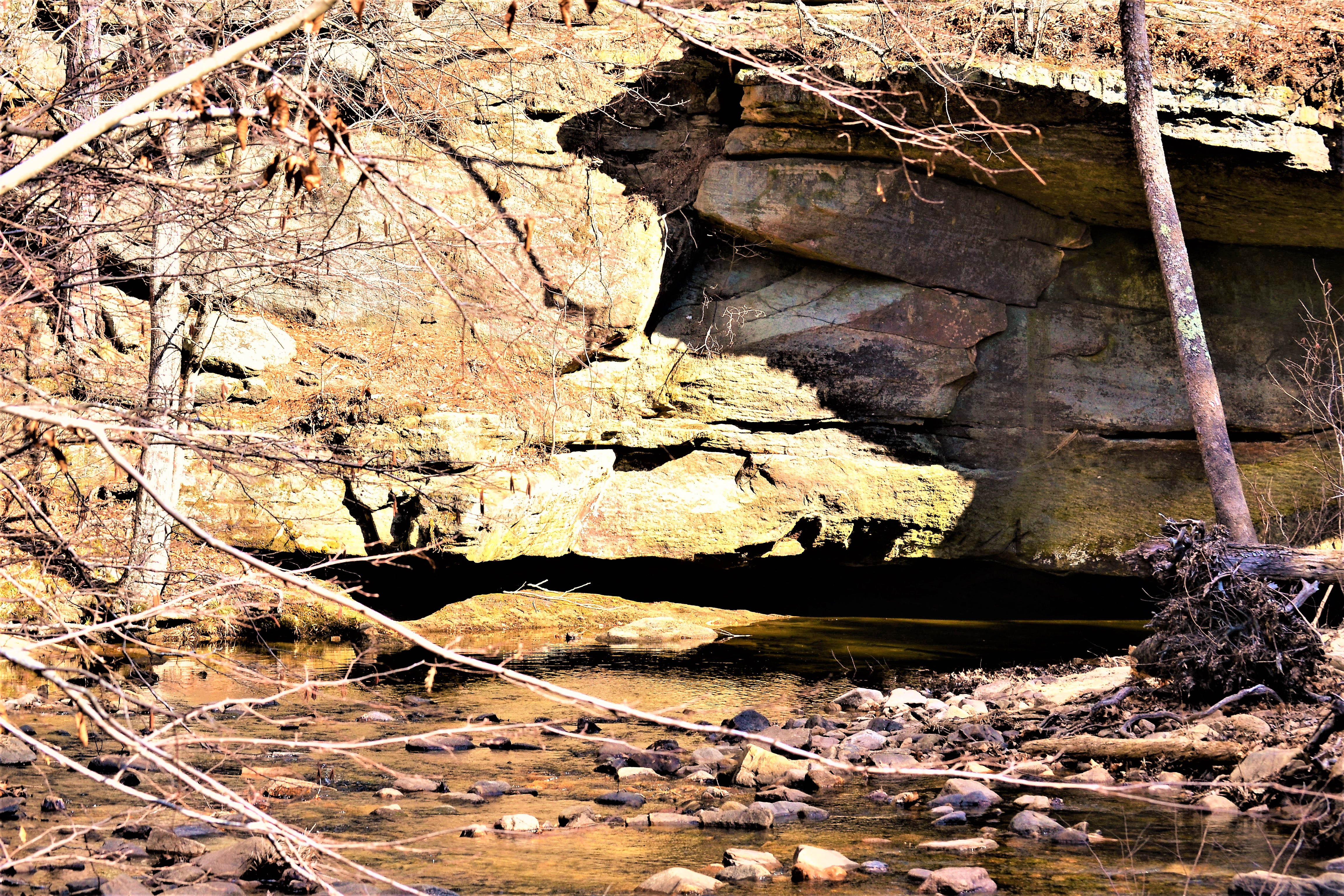
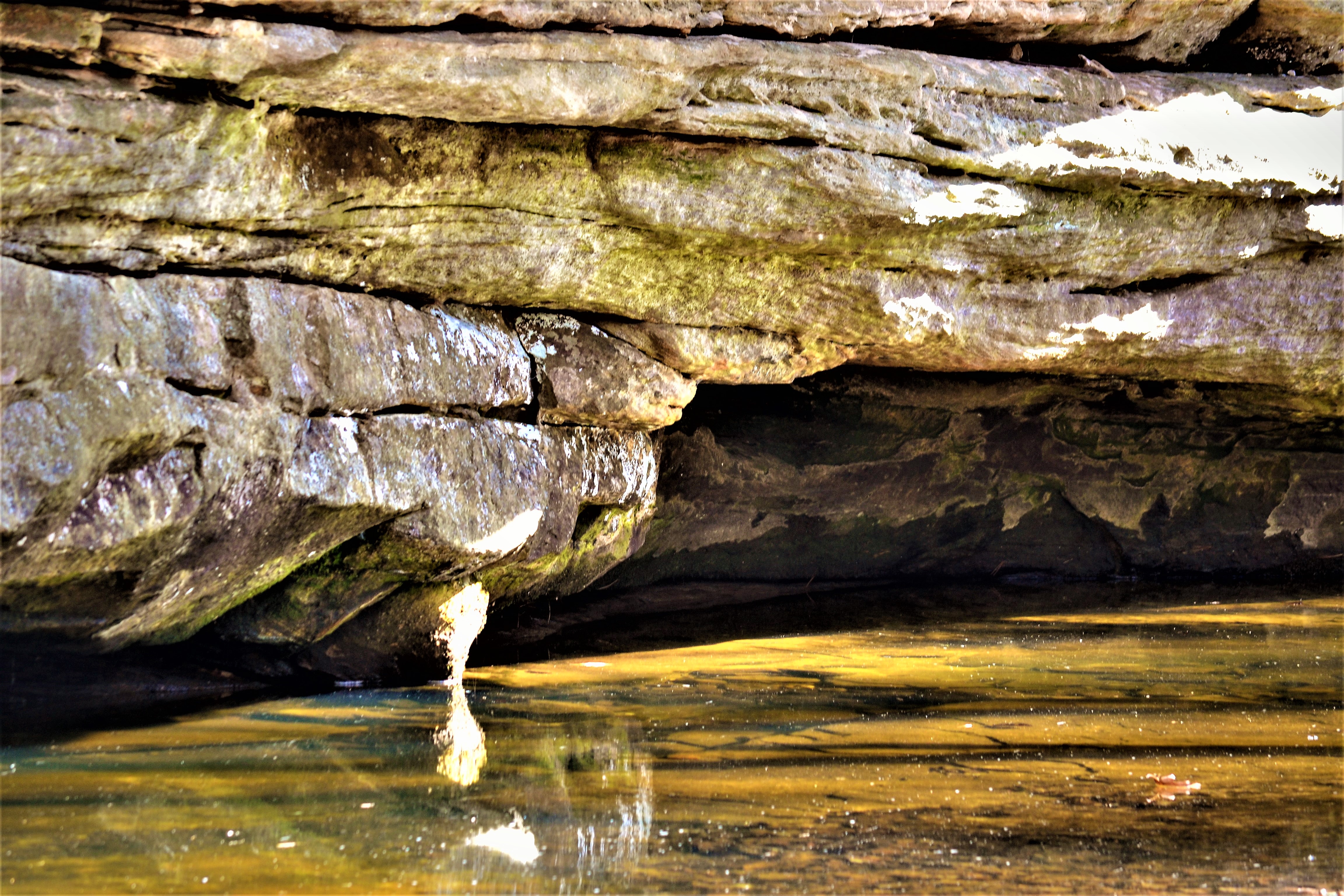
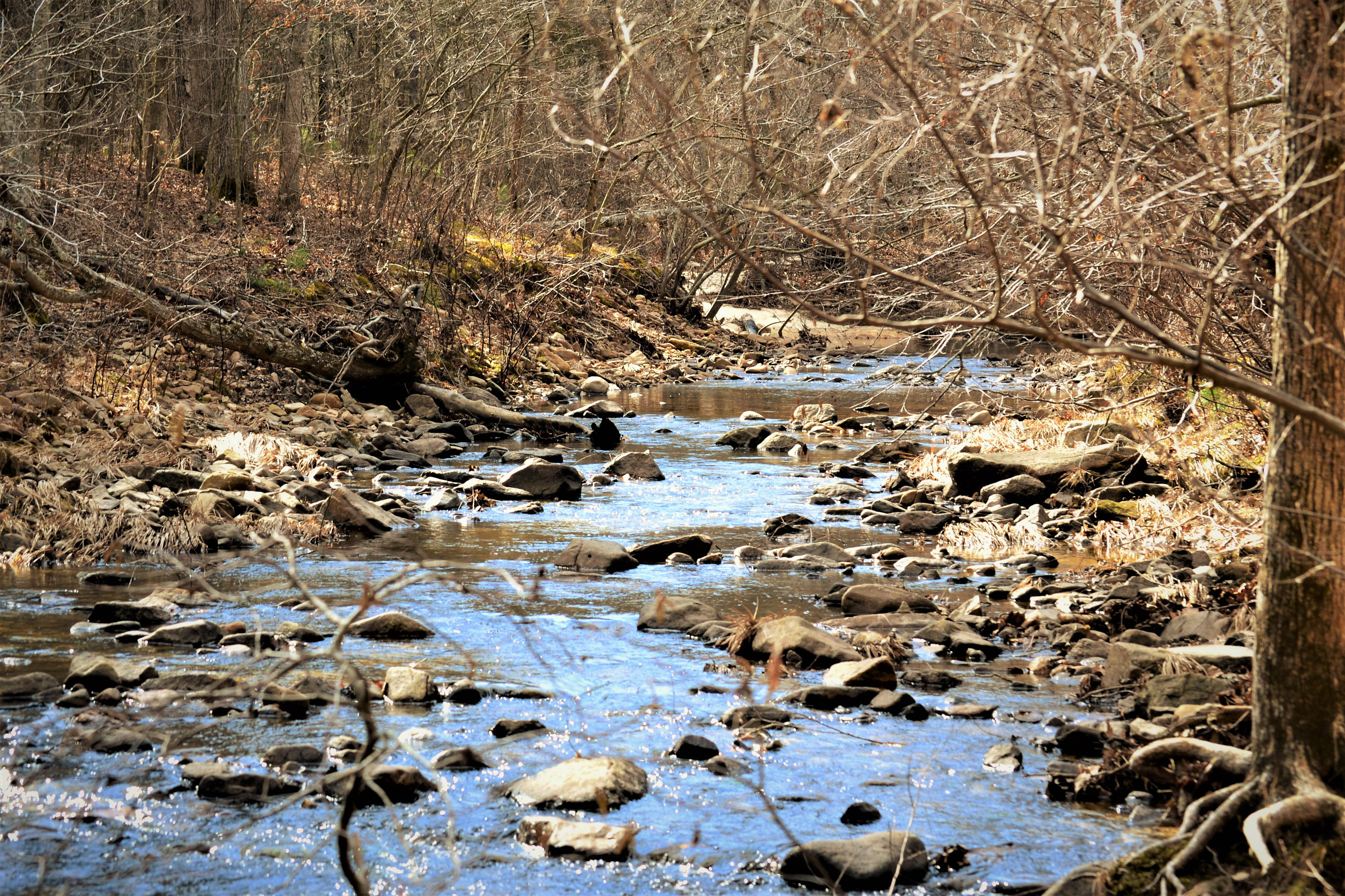
The area was designated a National Natural Landmark in 1974. Inside the area you will find unique rock outcroppings, seasonal waterfalls, bluff overlooks, shallow caves and be prepared to cross wet weather creek crossings. You might want to take along a pair of binoculars or camera. There is ample wildlife to spot. The area has some steep uphill climbs, bridged creek crossings and you will find the trail is well maintained.
You will find 250 species of vascular plants and rose azalea. Creek inhabitants include four toed salamanders, pickerel frogs, green frogs and southern leopard frogs. Also found in the creek is a crustacean, amphipod, known to be only found here.From Farmington, MO, take Highway 32 east, then Route AA east, and Dorlac Road north.
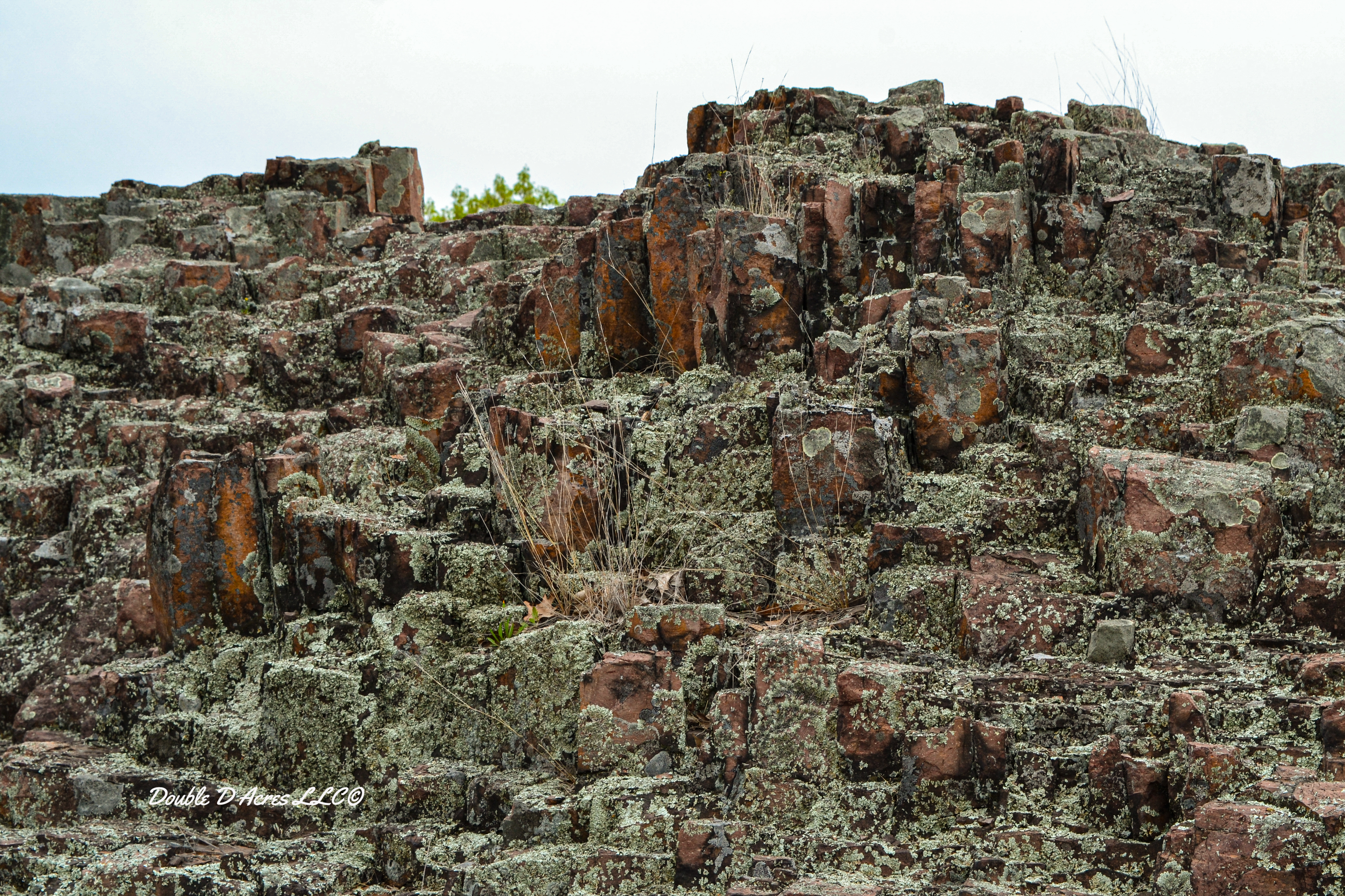
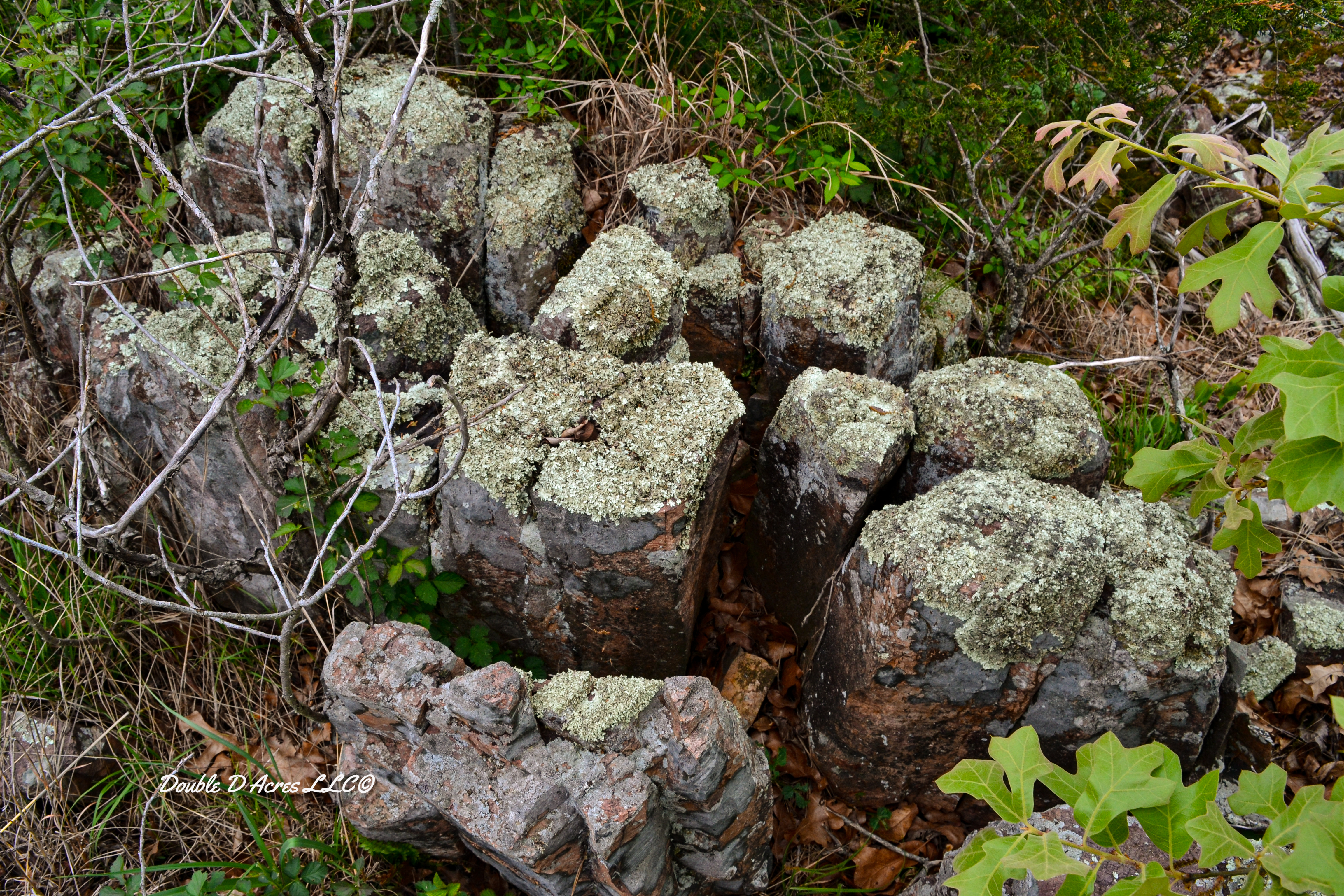
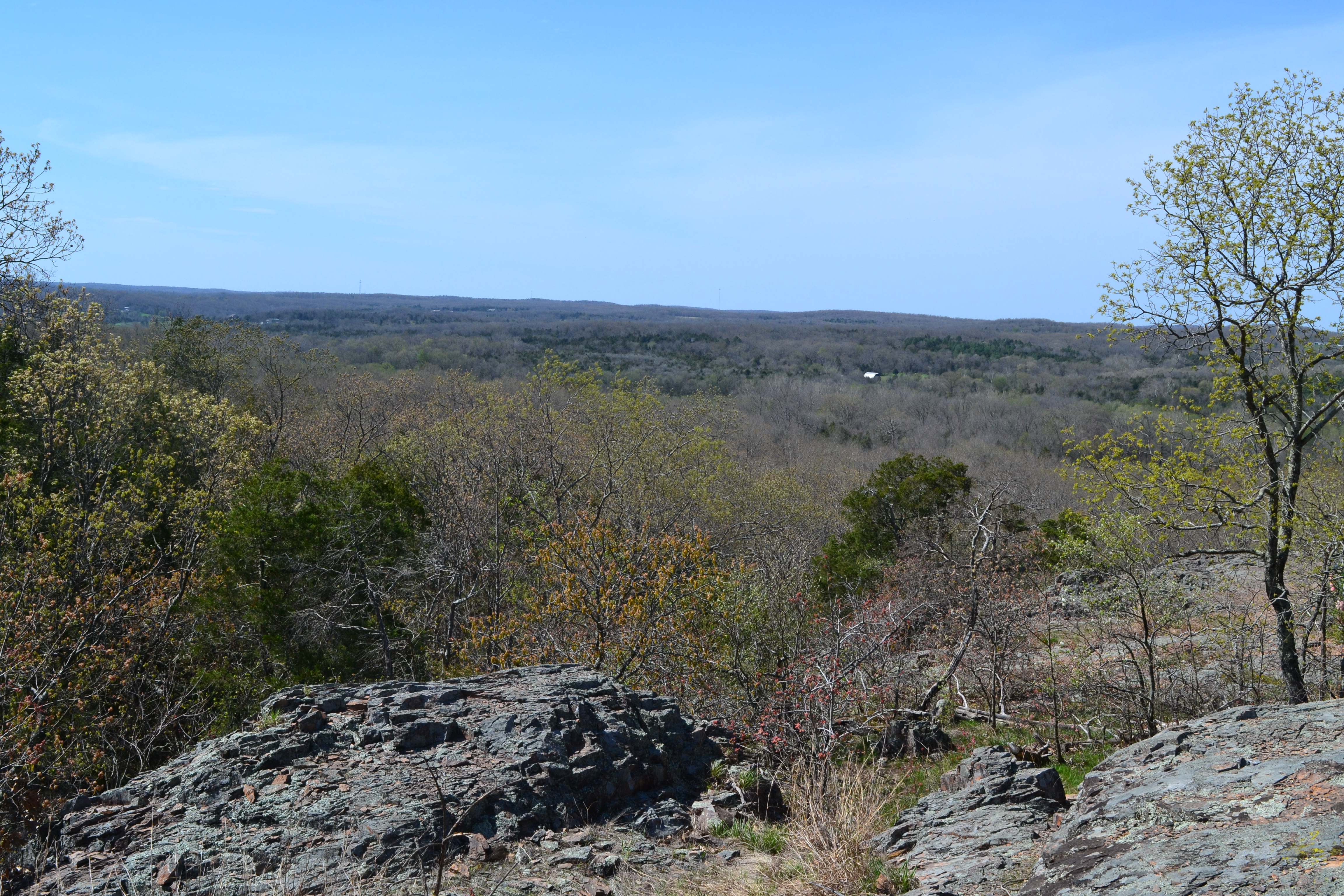
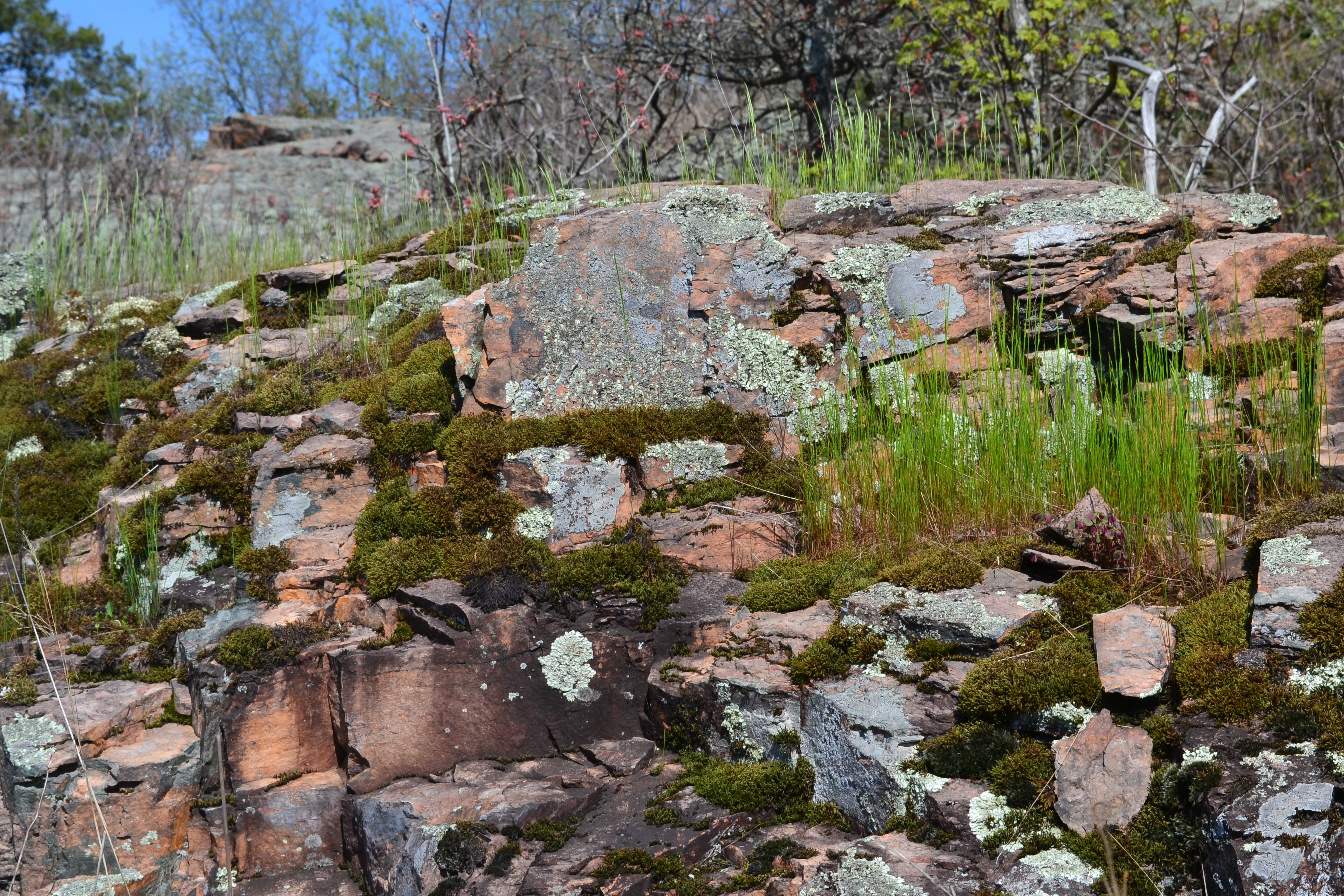
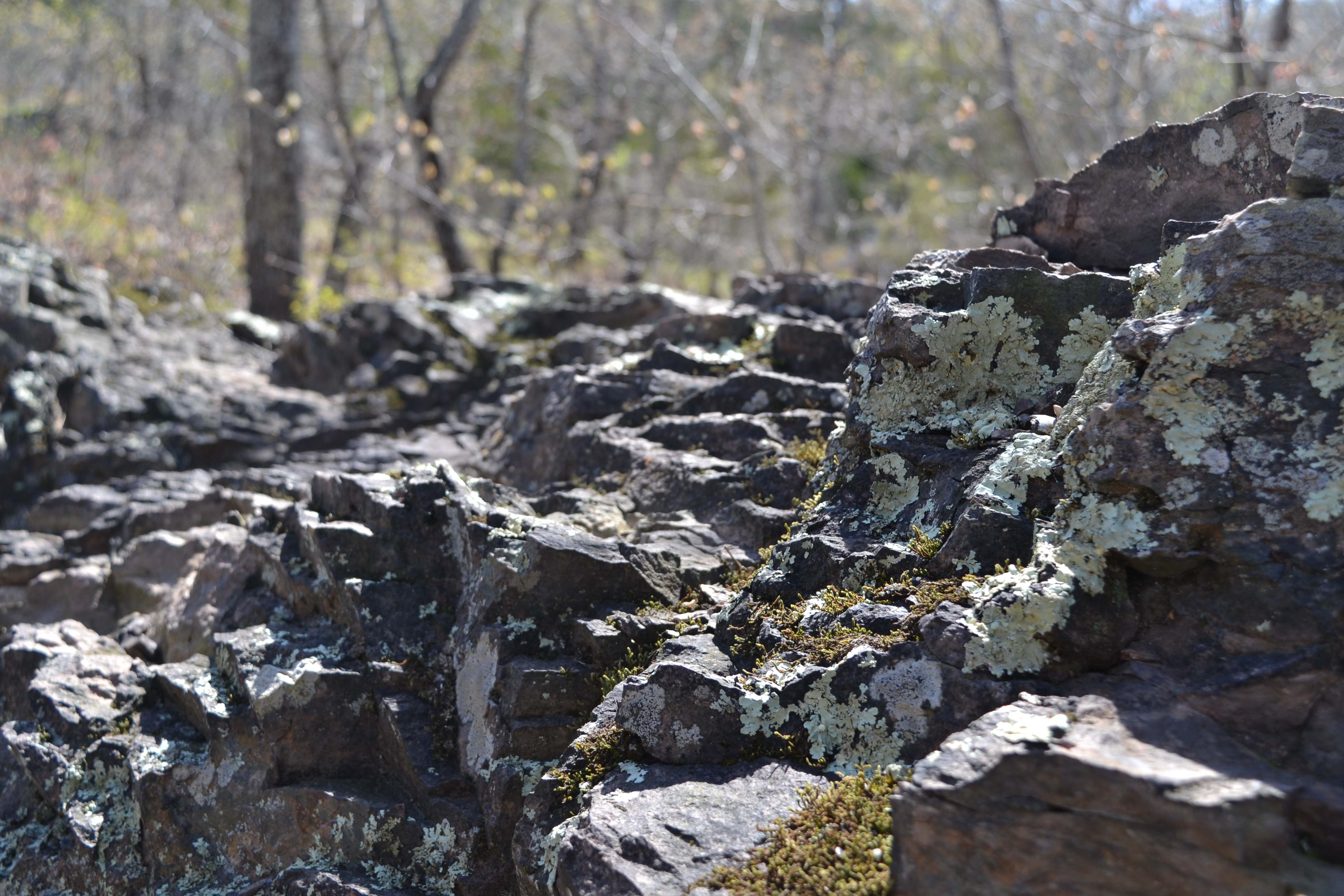
Located in the Hughes Mountain Natural Area is a trail called Devil’s Honeycomb Trail. It consists of glades, savanna, old fields and it is half forest. Polygonal columns of rhyolite make up what the locals call the Devil’s Honeycomb and is located at the highest point of the mountain. It is one of Missouri’s geologic wonders.
Around 1.5 billion years ago the rocks were liquefied by volcanoes associated with the St. Francois Mountains. The molten rock contracted, and as it cooled cracked and created multi-sided columns and created a rhyolite formation that locals named the Devil’s Honeycomb. The Precambrian rock outcrops are among the most ancient, exposed rocks in the United States.
The Hughes Mountain Natural Area is located off highway M, 3 miles southeast of Irondale.
Hughes Mountain is located in southern Washington County in Missouri. The area was designated a natural area in 1982. It is made up of a combination of igneous glades and three types of forests. Precambrian rock outcrops found in the area are 1.5 billion years old making them among the most ancient, exposed rocks in the United States.
The area is named after the first European settler, who arrived in 1810, John Hughes. The Conservation Department purchased the land from the Hughes family. The rhyolite formation located at its highest point is known by locals as the Devil’s Honeycomb. Because of my late start and other time restraints I was unable to make my way to this area. Another trip is planned for the near future.
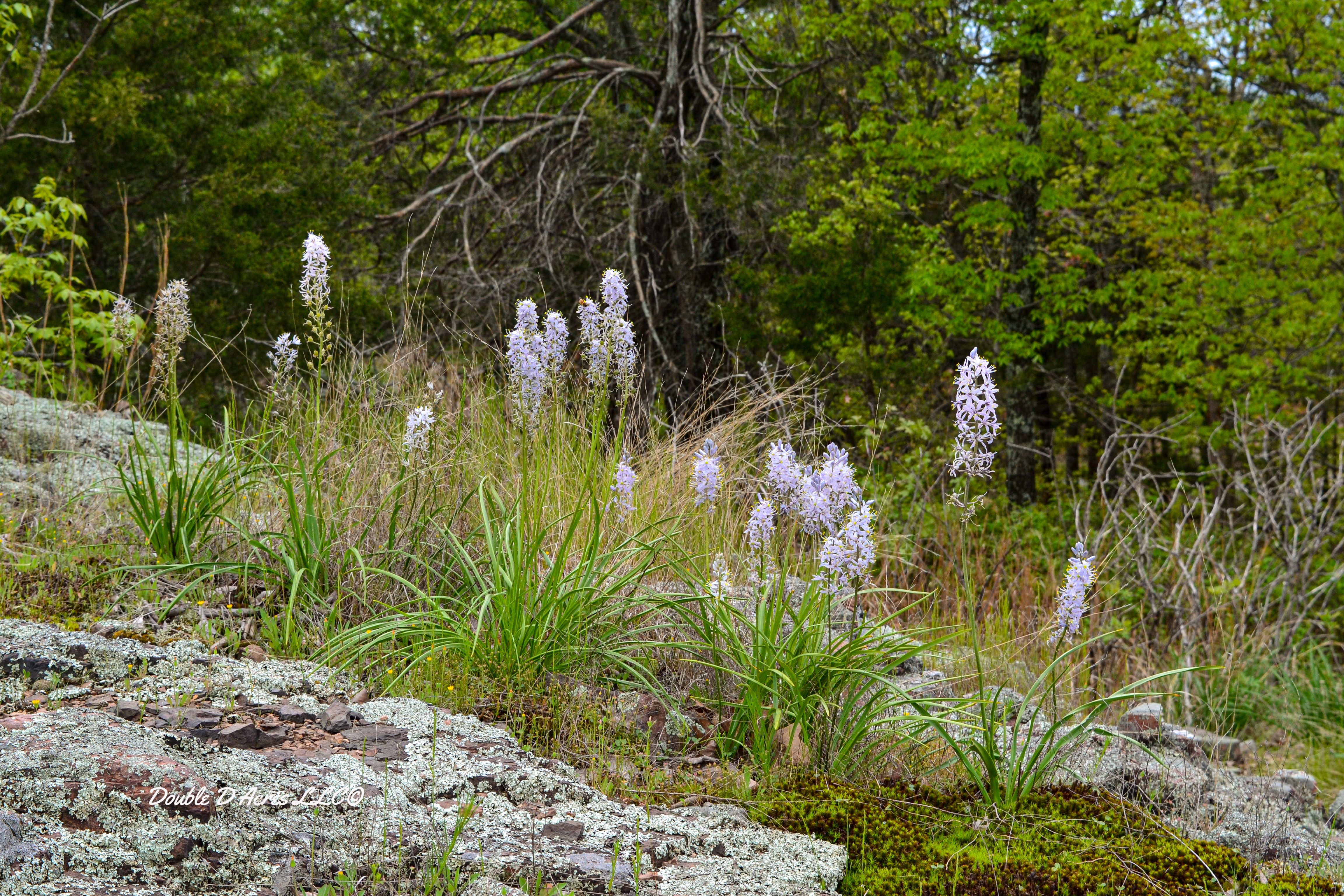
Glades located within the area are natural openings located on the western and southern slopes where native grasses and a variety of wildflowers can be found. Glade plants include little bluestem, broomsedge, poverty grass, flame flower, prickly pear cactus, yellow star grass, spiderwort, and wild hyacinth.
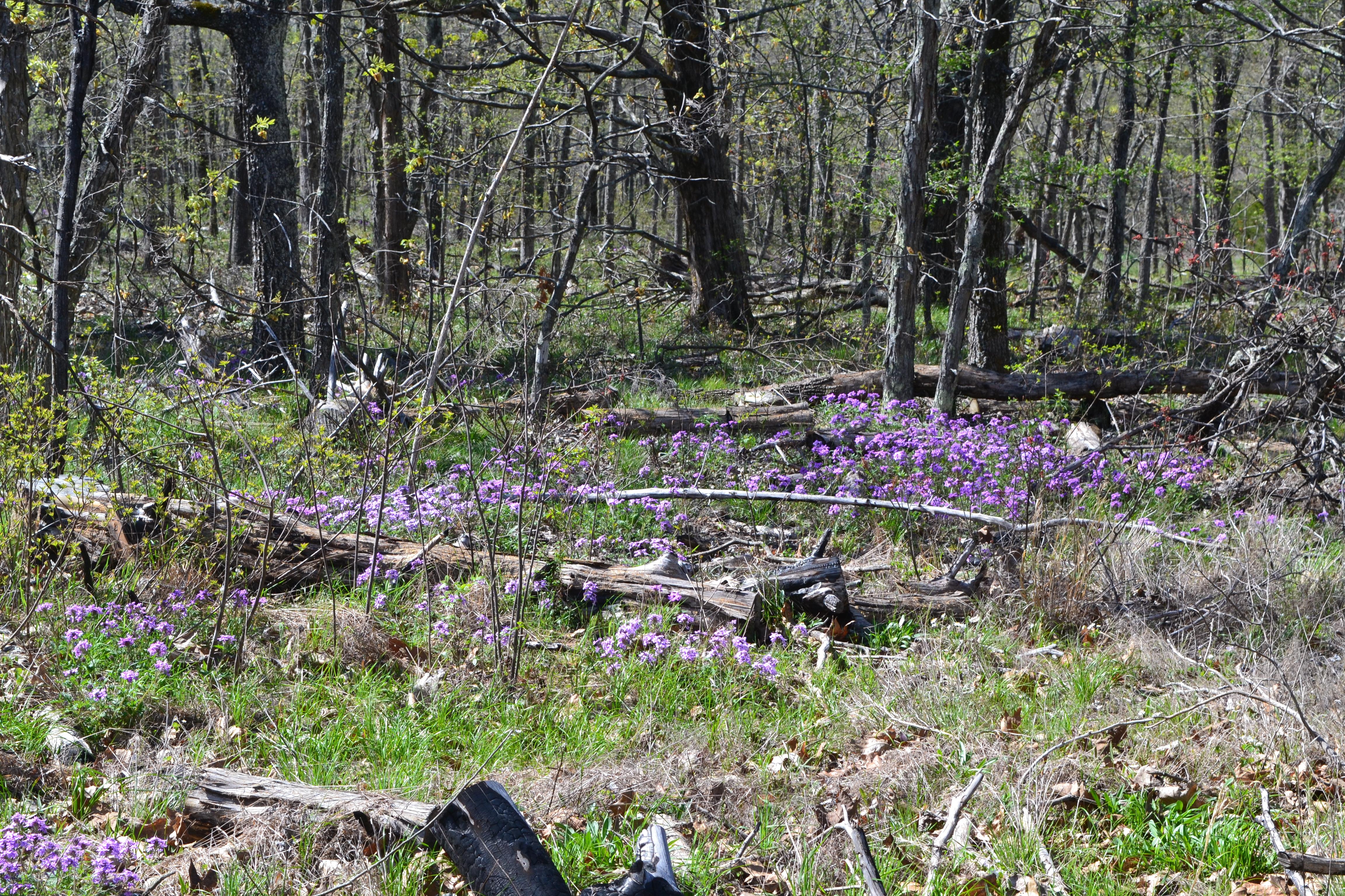
The trail is 1.6 miles long and is an out-and-back trail near Irondale, MO. I found it to be a moderately challenging trail but was fairly well maintained with trail arrows. On average it takes 48 minutes to complete however time gets away from you when snapping photos. The trail is open year round and dogs are welcome but they must be on a leash. The trail is popular among birders, hikers and runners. However, if you see me running, run, because something is chasing me.
NOTE: All pictures were taken by me and the property of Double D Acres LLC and may not be used without my permission.
“To me photography is an art of observation. It’s about finding something interesting in an ordinary place…I’ve found it has little to do with the things you see and everything to do with the way you see them.”
Elliott Erwitt
Elliott Erwitt was famous for his uncanny ability to capture on film the humor and irony of everyday life.
Fortunately, we are all different. The world would be a boring place if we all liked the same things. Ten people can look at the same picture and see it fourteen different ways. As a photographer I want the viewer to see what I see. When I see something that excites me, I immediately begin analyzing the shot trying to figure out how to shoot the picture for the viewer to understand what I see. In this particular picture I would have to ask which came first? The rocks or the tree.
This shot was taken on a ridge that paralleled the St. Francis River inside the Silver Mines Recreation Area near Fredericktown, MO. It is along a trail that runs parallel with the river along the ridge and just to the right a trail takes off up the ridge. My thinking is the rocks were put there many years ago to mark the trail when the tree was small.
More pictures of the trail that runs along the west ridge overlooking the river.
Hi! my name is Sebastian (You can call me Seb!) ...welcome to my Blog. I'm a photographer from Worcester, Worcestershire, England. Thanks for dropping by! I hope you enjoy my work.
Hi! my name is Sebastian (You can call me Seb!) ...welcome to my Blog. I'm a photographer from Worcester, Worcestershire, England. Thanks for dropping by! I hope you enjoy my work.