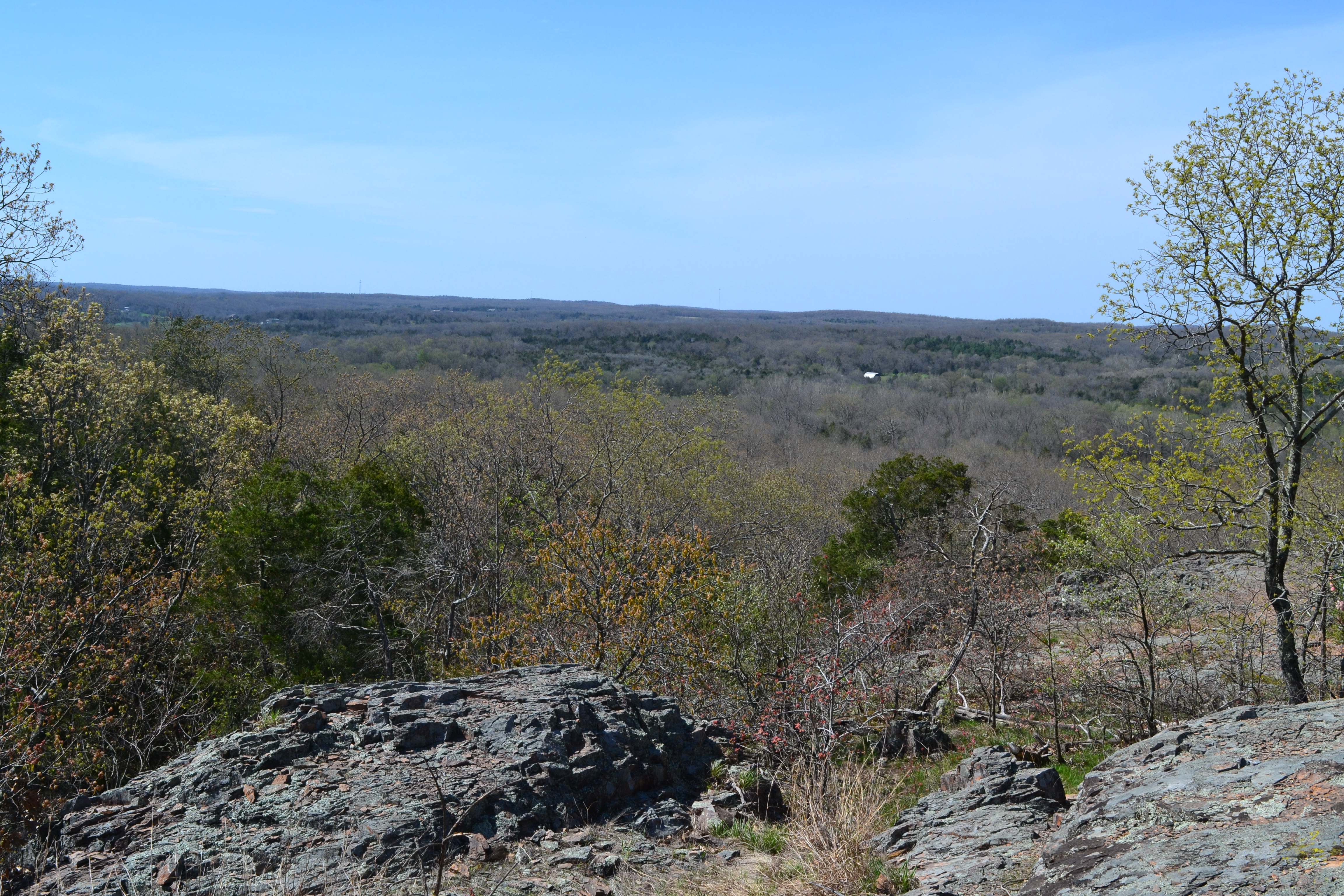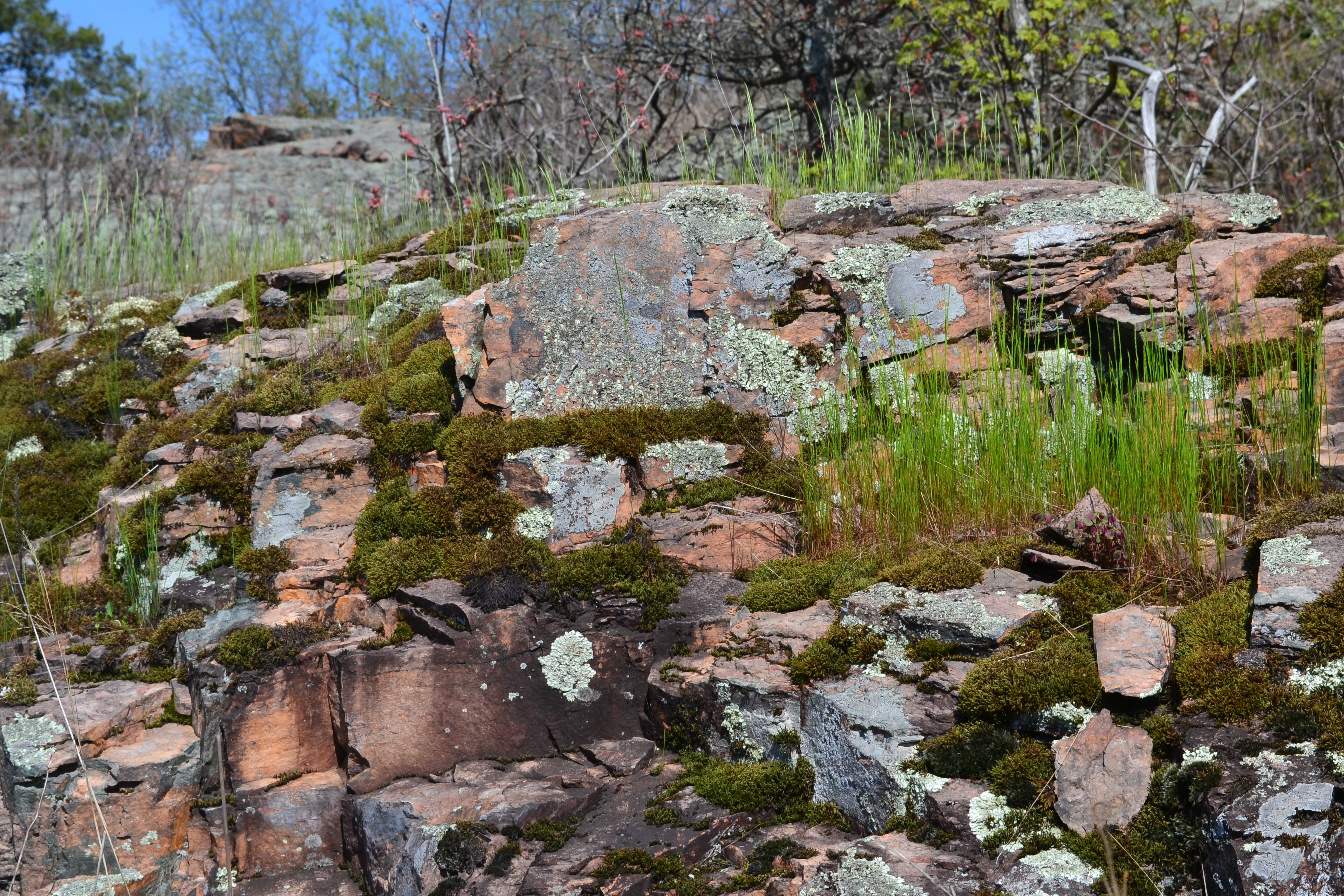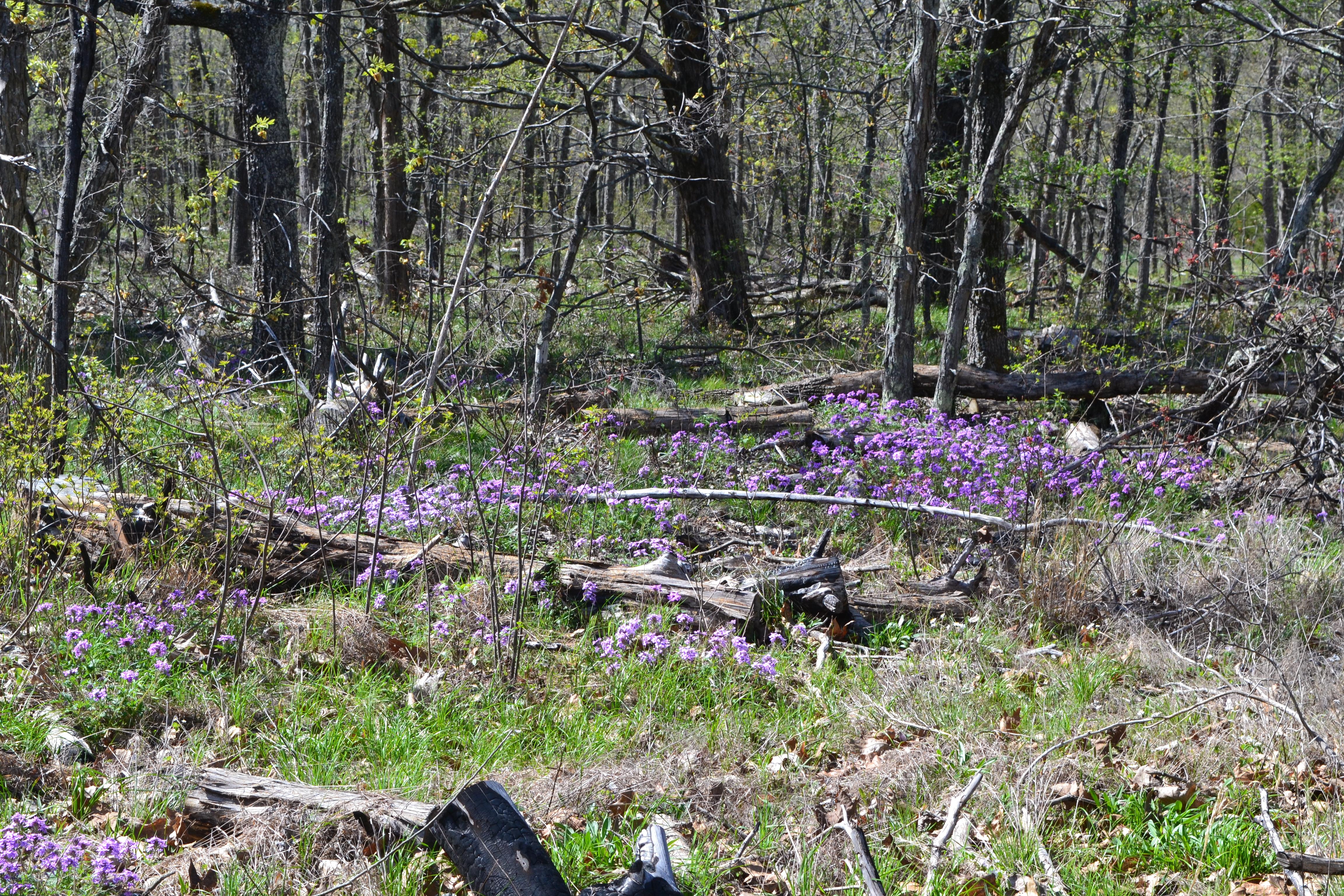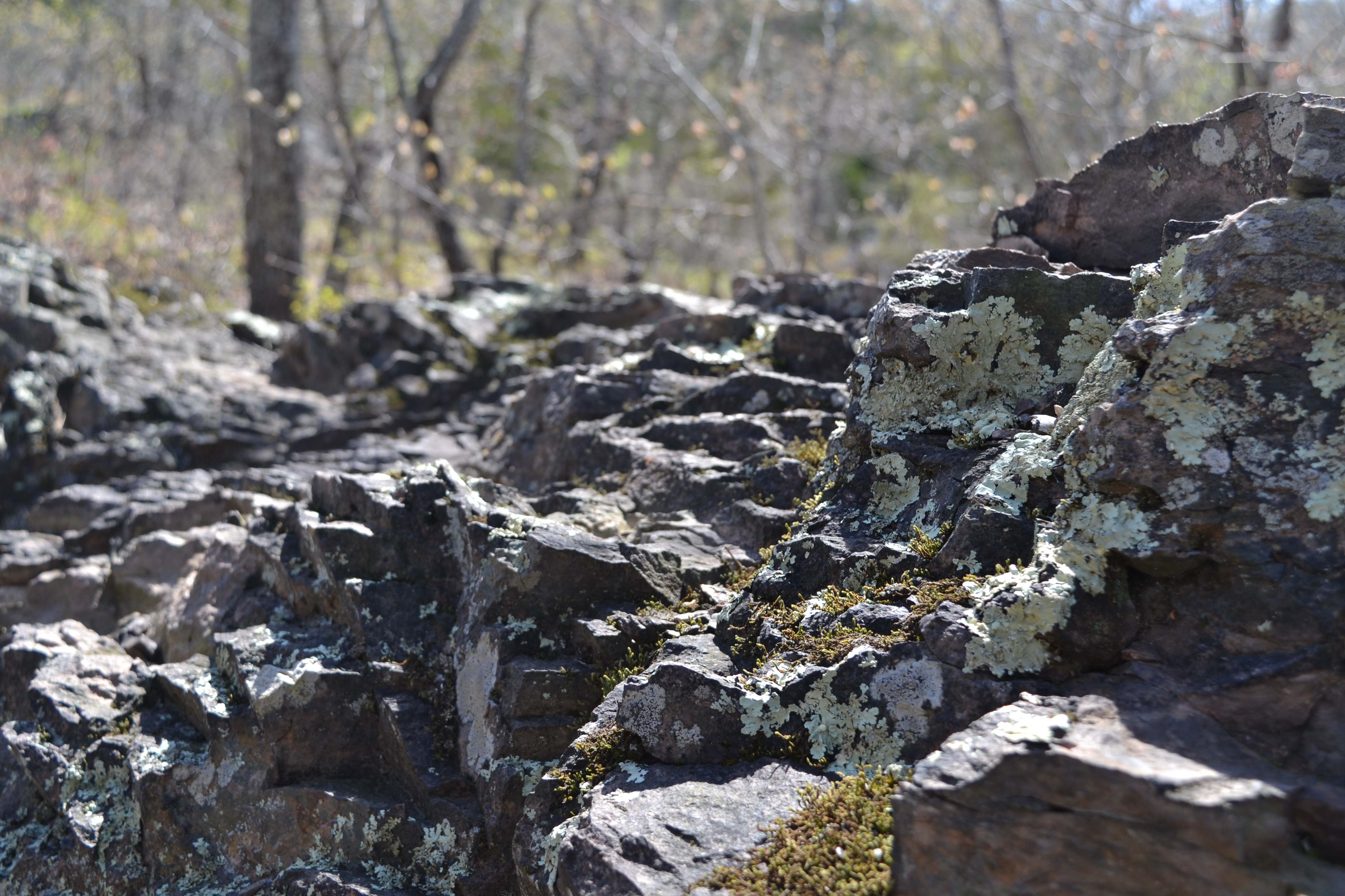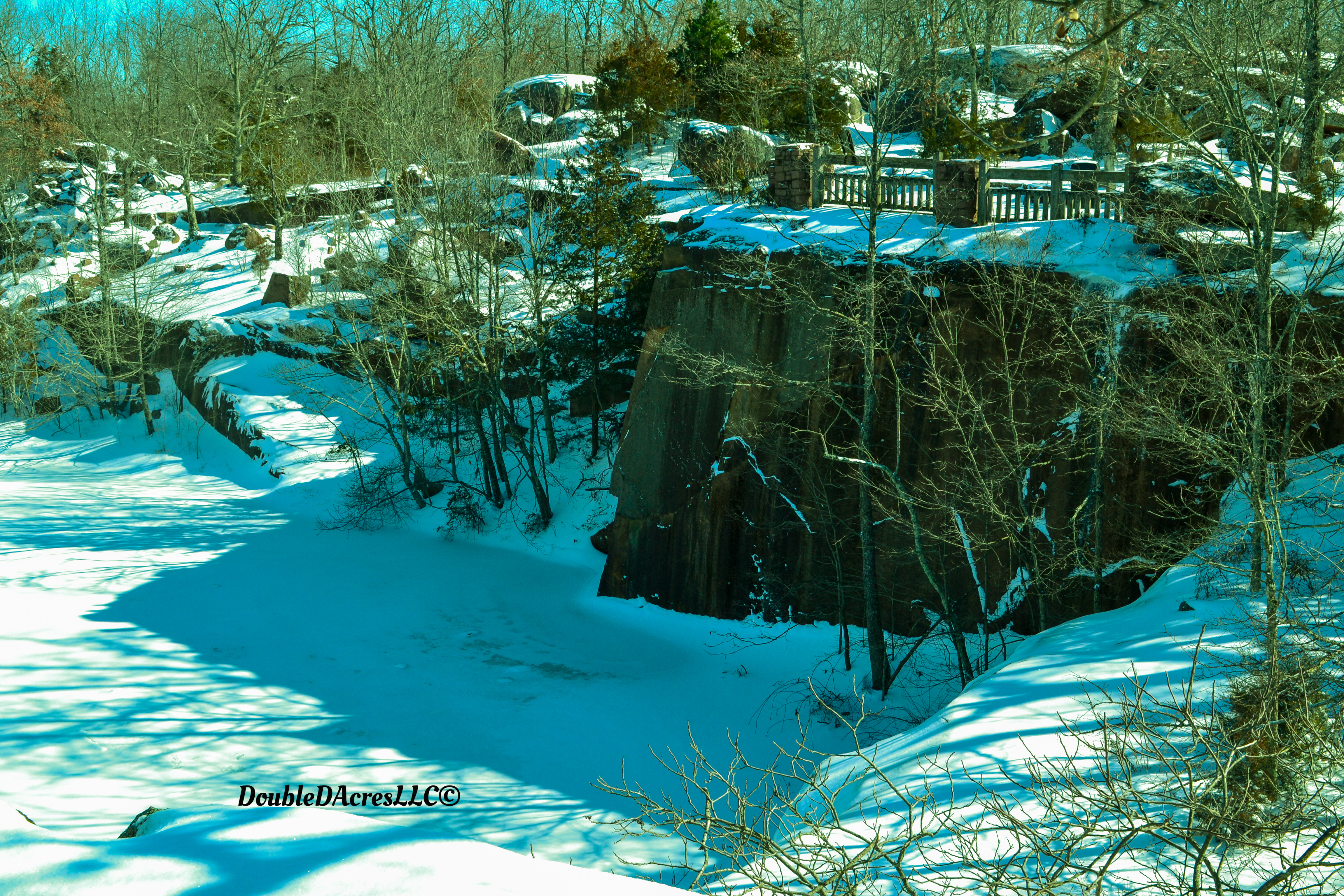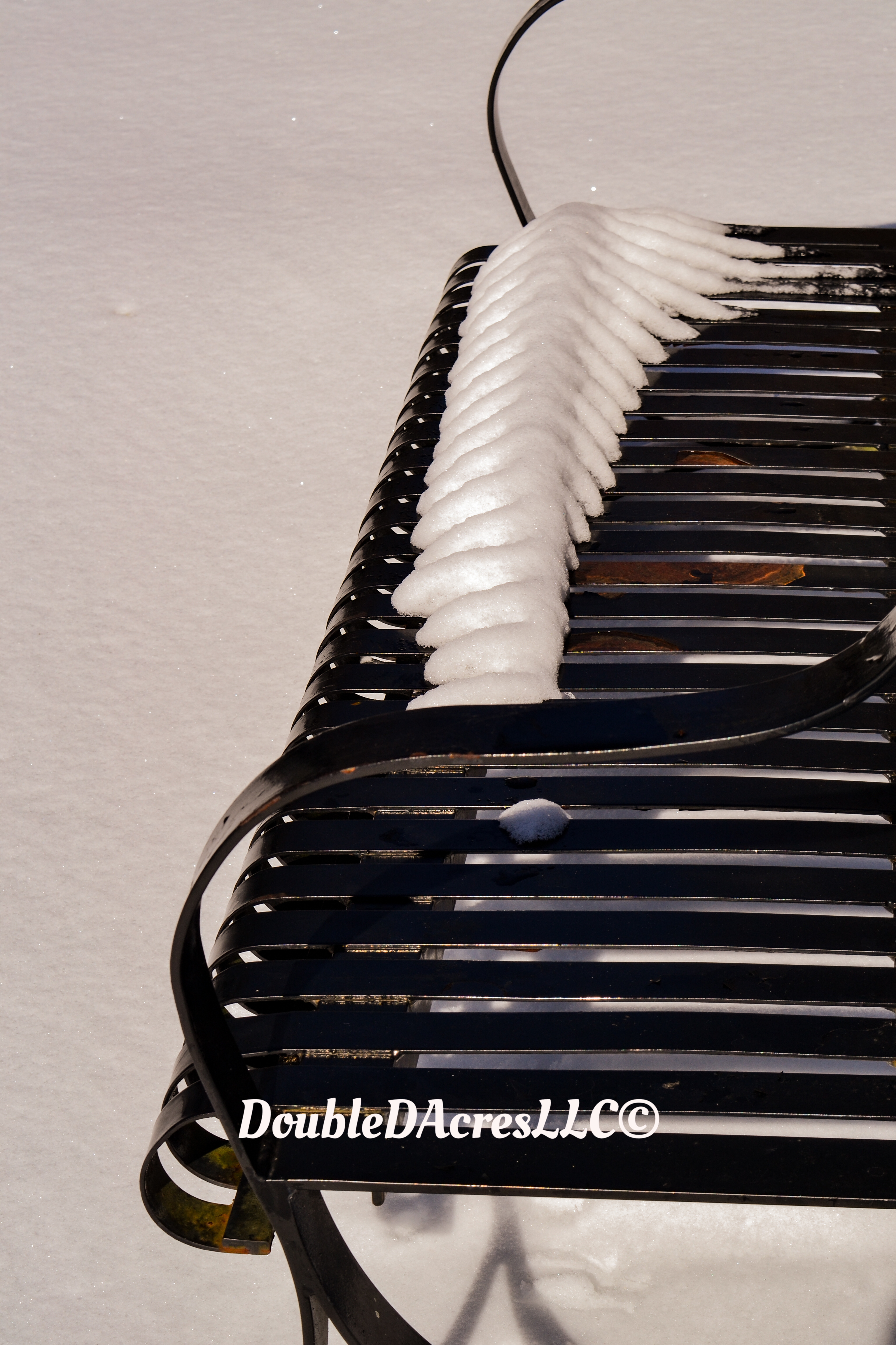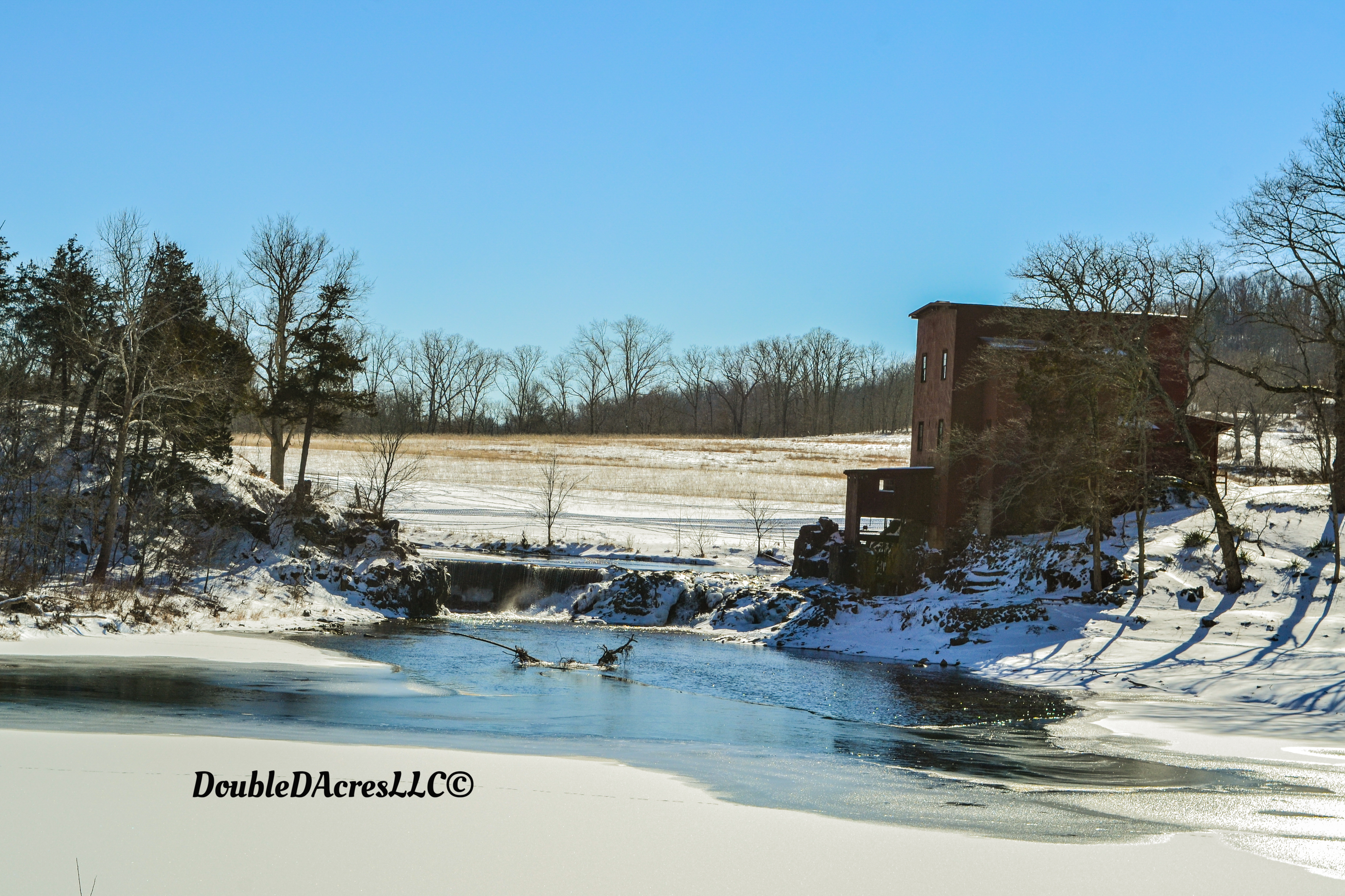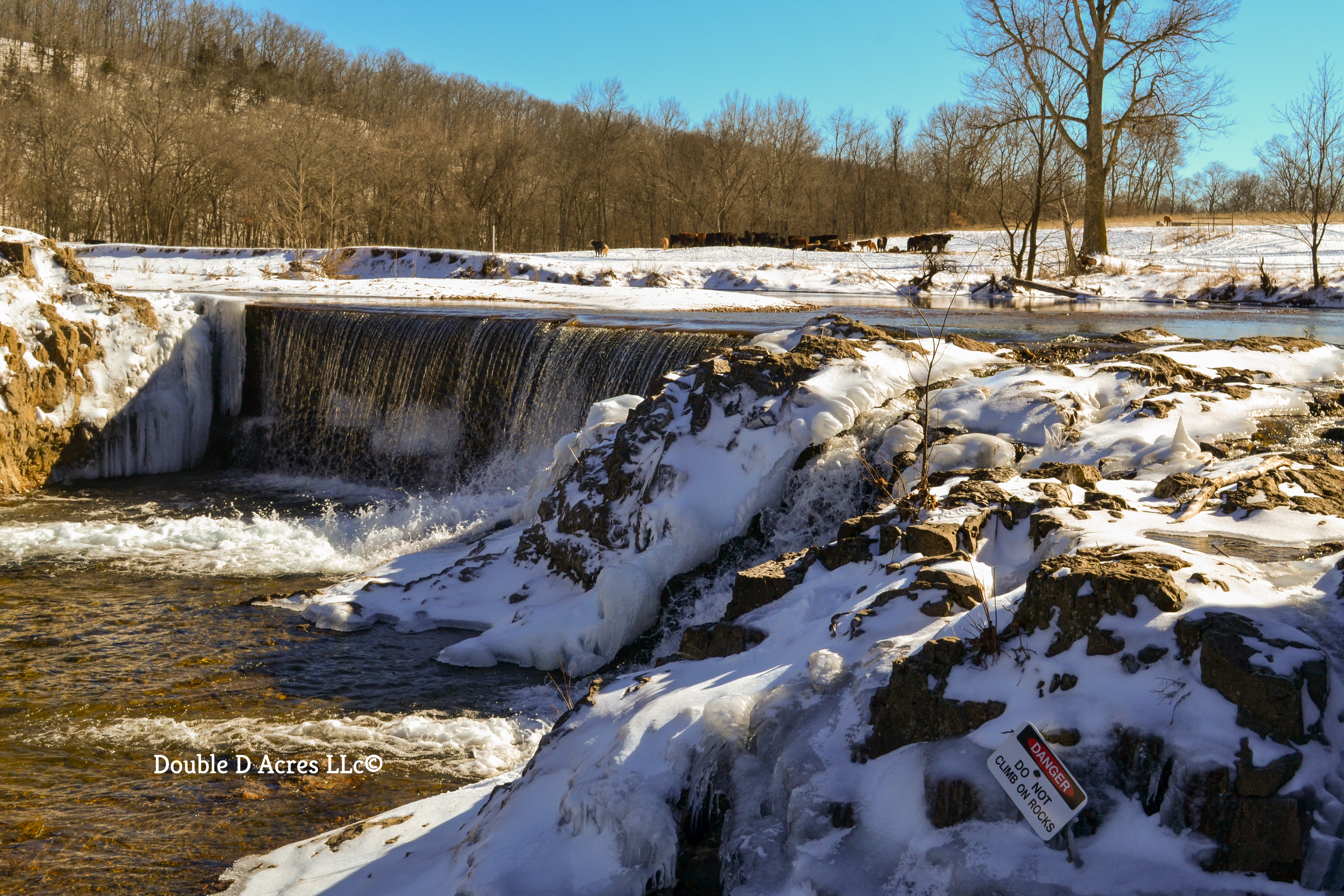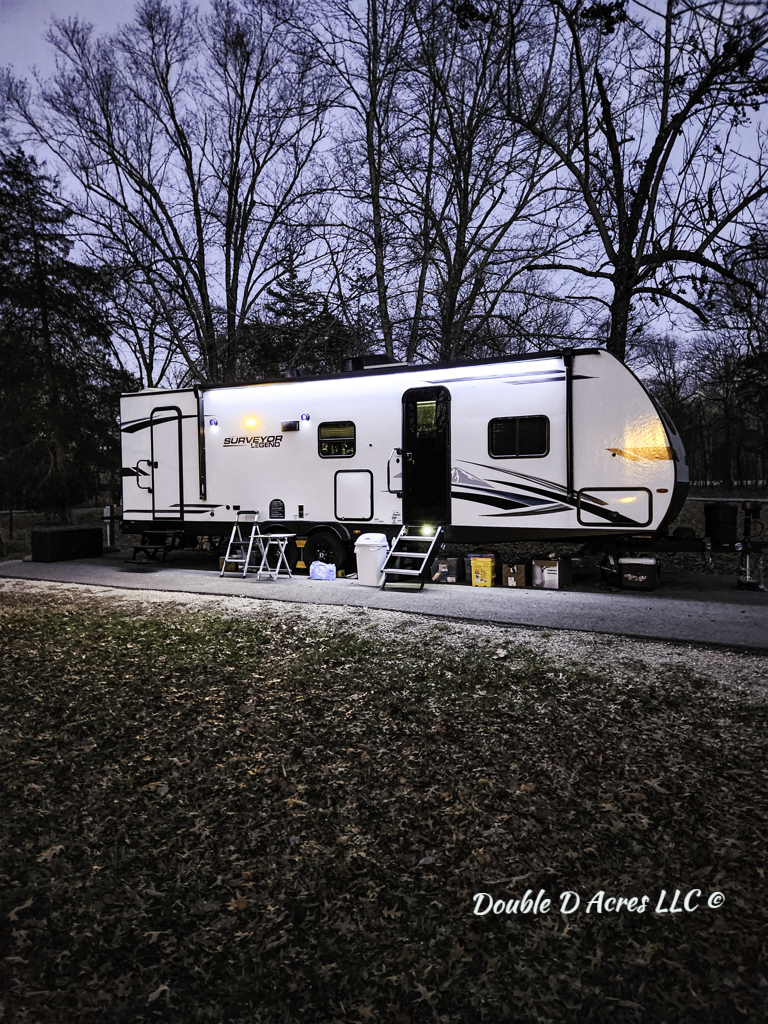
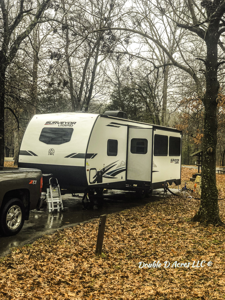
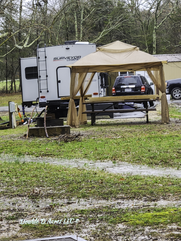
This was our home for 8 months in 2023, where my wife and I worked as campground hosts. We made a lot of new friends, learned a lot about nature and have some good stories to tell. This particular story started on a Friday night. Just another weekend, it wasn’t a holiday or anything special going on. All the campsites were reserved, and it was a full house.
We had just come back from a run in the park, and I noticed two men having a lively conversation. One of the men had his camper set up on site 8 and the other had his rig still hooked up, parked along the road next to it. I watched what was going on and it was becoming quite heated. I just started toward them when I saw the man still hooked to his rig, heading toward me.
Here he come, strutting like a Bantee rooster, walking toward me with purpose. He got to me and asked if I was the campground host. I answered, yes, I am. May I help you? He immediately tells me that I have to go make the other camper move, because he has that spot reserved. I knew by the way he screamed out his request, that this day wasn’t going to end the way I was hoping to. I told him to please calm down and let’s talk to him and see what’s going on. We headed for the campsite to try and figure out what happened.
The gentleman assured me that they had reservations. I asked the not so happy camper, if I could see his reservations. His wife handed them to him, and he thrust them into my chest and said now you will see and all the time he was giving the other camper an evil look. One of those looks that tells me, don’t ever go target practicing with him. I took the reservation and started looking it over hoping there was going to be an easy fix. Then I saw it! Love those easy fixes. I said sir you are somewhat right. You did have reservations, for two weeks ago. Oh my! He didn’t seem very happy. They had come quite a distance and the look he gave his wife told me this was going to be a long ride home for her.

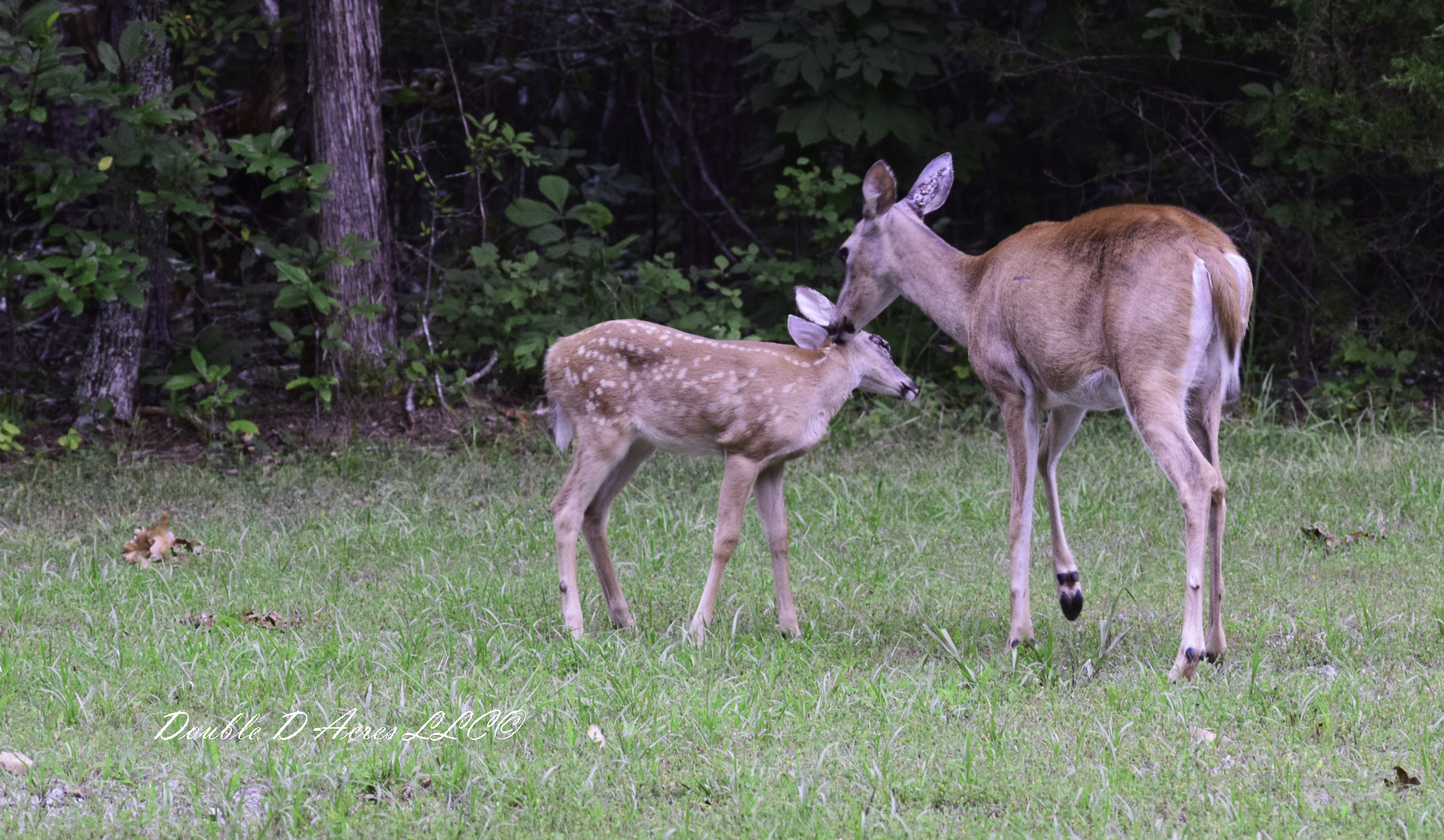
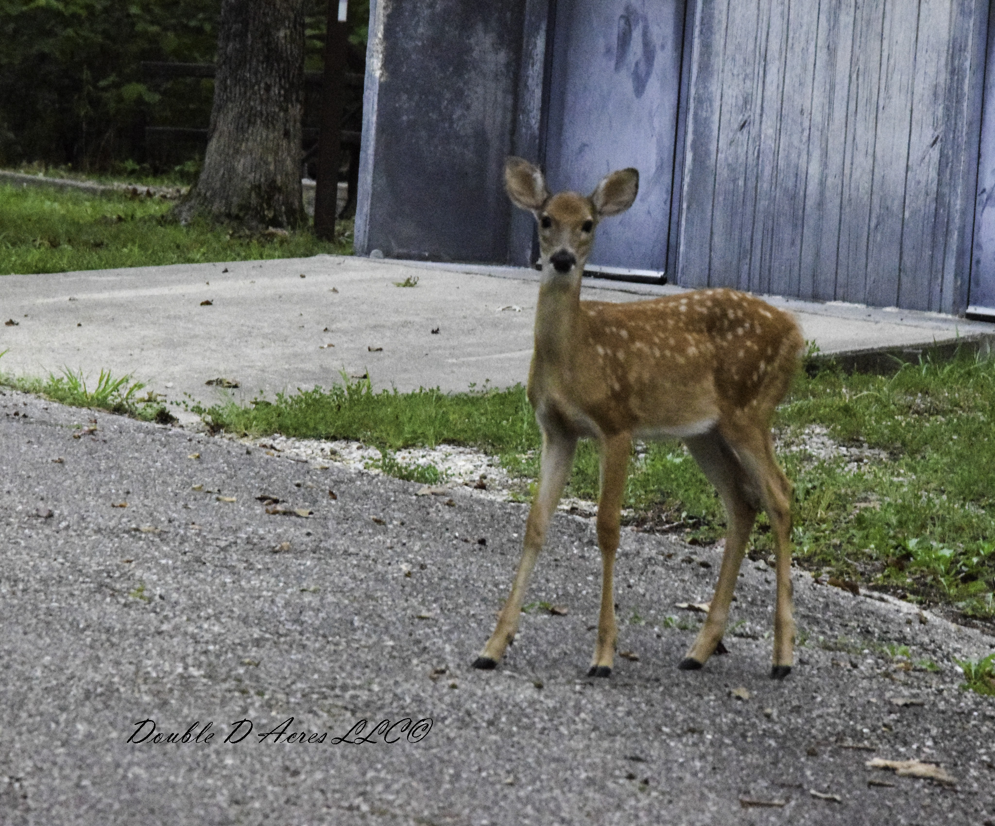
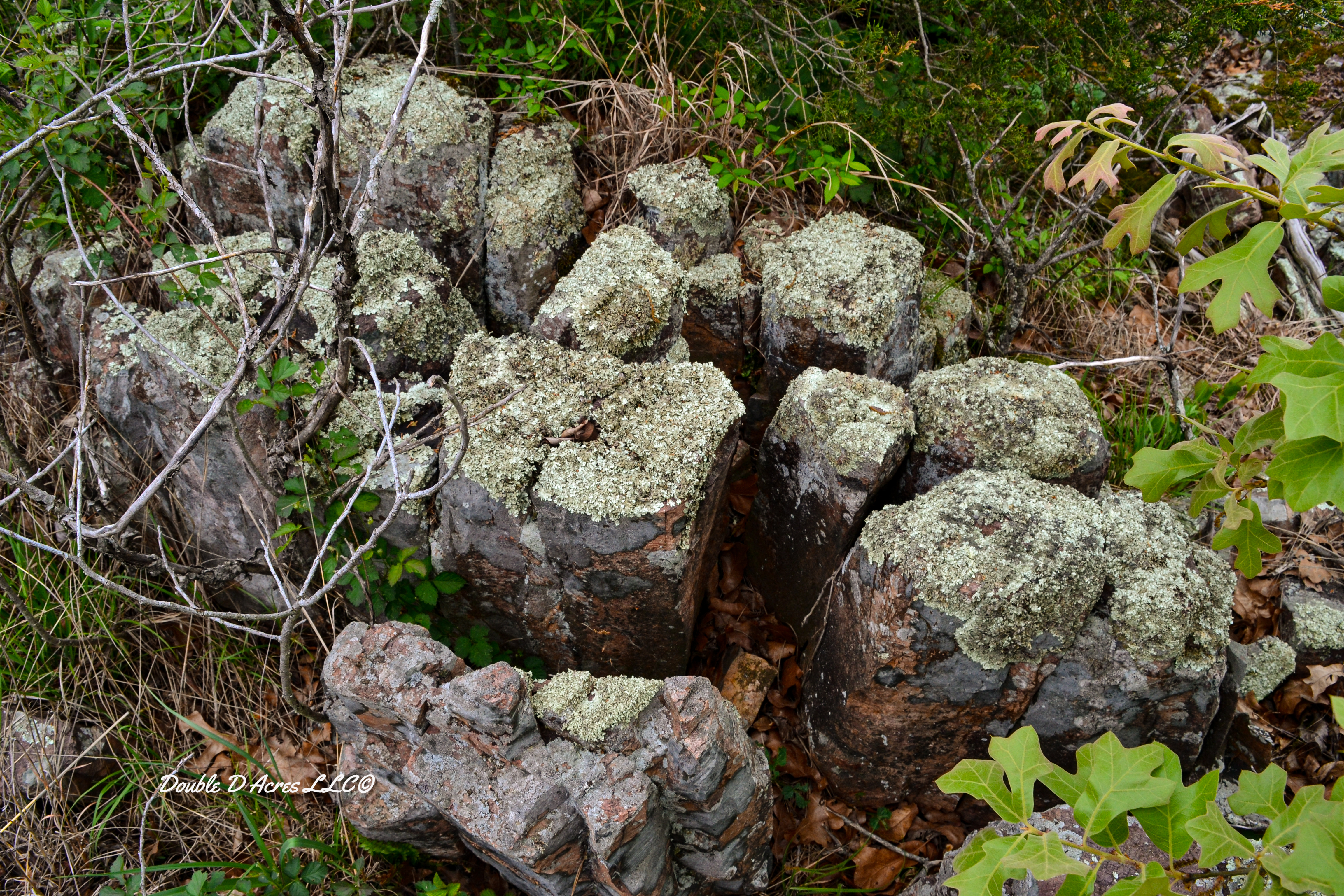
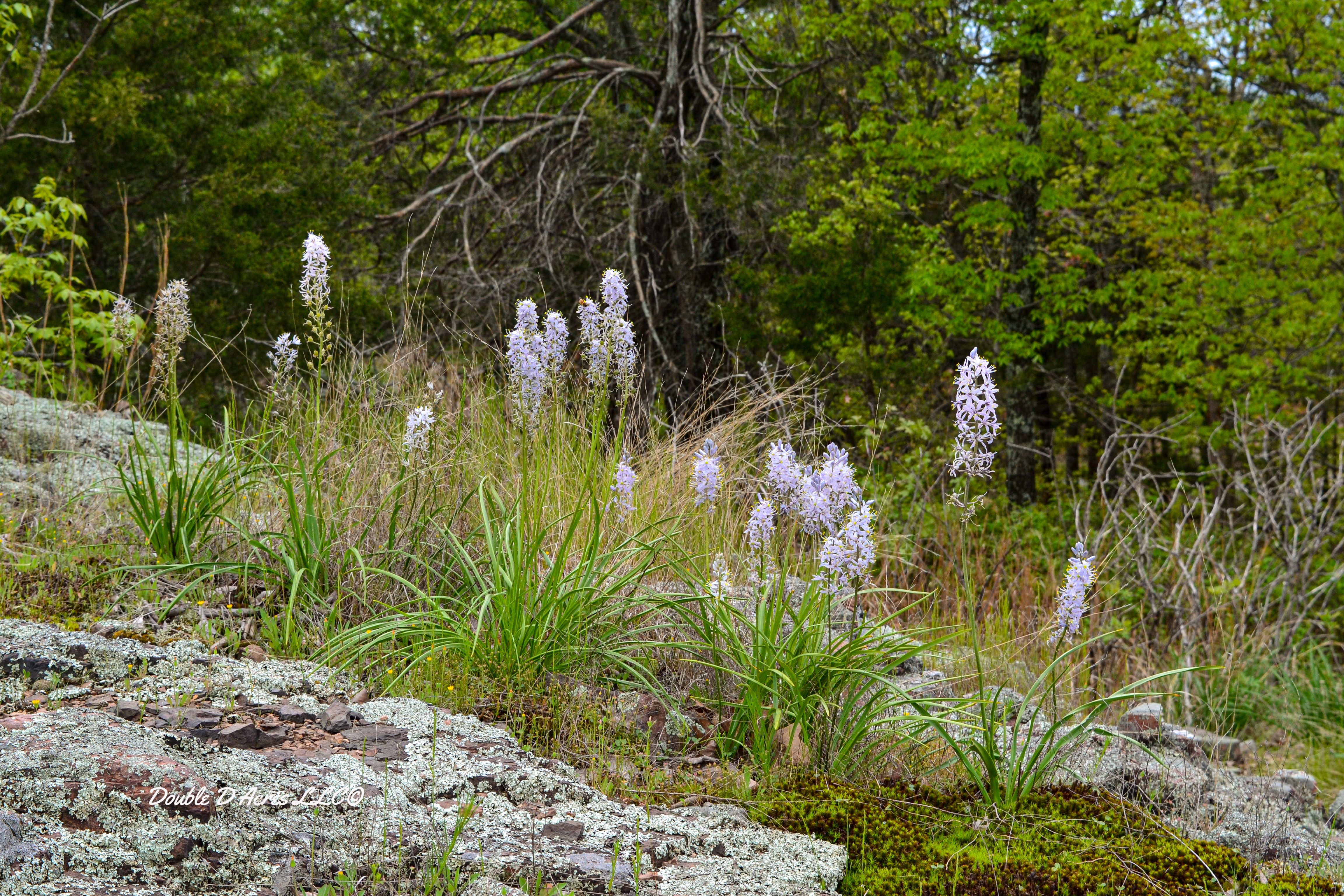
The pics are of our home we lived in for 8 months in 2023.